
Ecuador
Ecuador crosses the Equator on South America’s Pacific side and combines a narrow coastal lowland, high Andean ranges and the upper Amazon Basin. Volcanic peaks and intermontane valleys structure the central highlands, while the Galápagos Islands extend its territory far west into the Pacific with a separate volcanic island environment.
Ecuador’s flag has horizontal yellow, blue and red bands, with yellow twice the width of either lower band. The state version displays the national coat of arms in the center.
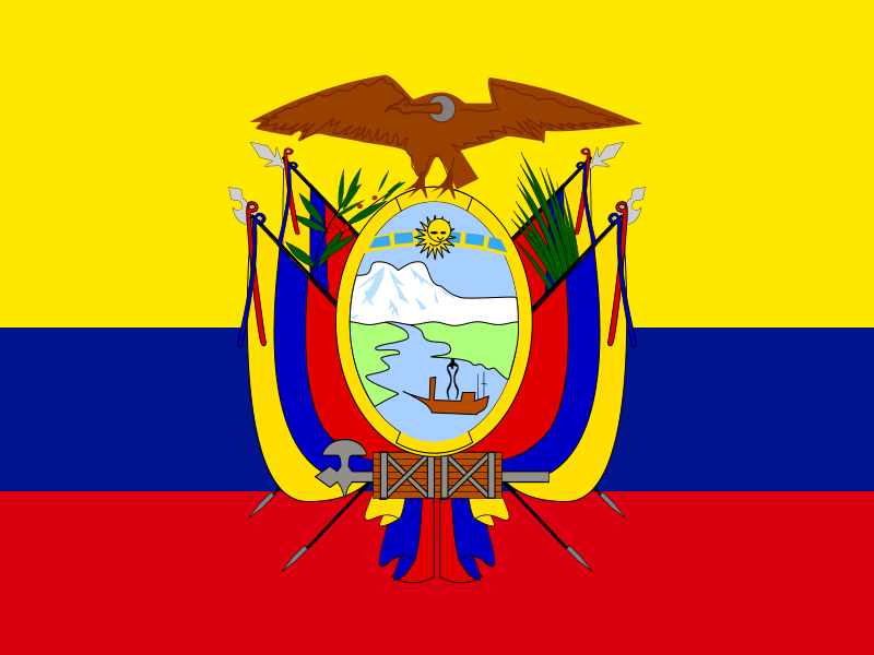
Ecuador
Regions and cities in our catalog
Regions
Browse this country’s regional flags and available downloads.
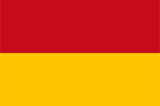
Azuay Province
High Andean basins and deep valleys surround colonial cities in southern Ecuador.
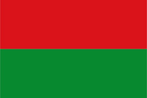
Bolívar Province
High Andean ridges descend westward through deep valleys toward subtropical foothills.
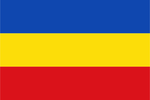
Cañar Province
Andean highlands and deep river valleys surround ancient mountain settlements.
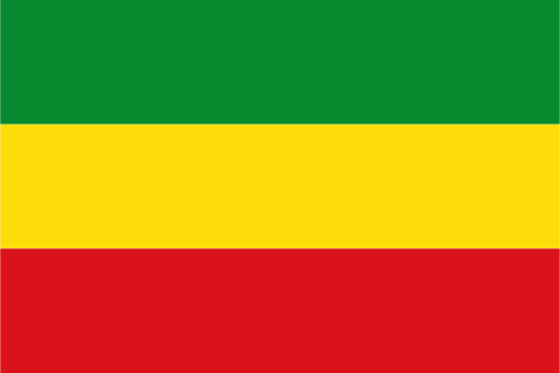
Carchi Province
High northern Andes surround cool valleys near Ecuador's northern frontier.
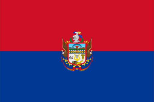
Chimborazo Province
Ecuador's highest peaks rise above broad Andean basins and páramo grasslands.
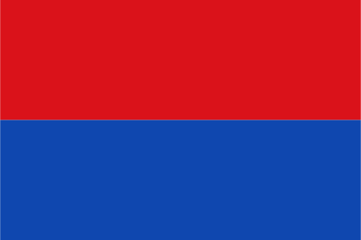
Cotopaxi Province
A great volcanic cone rises above fertile central Andean valleys.
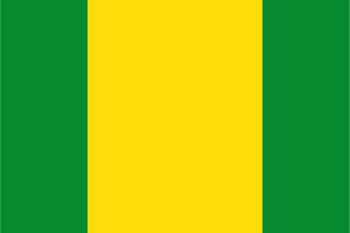
El Oro Province
Andean foothills descend through fertile plains to the Pacific and Gulf coast.
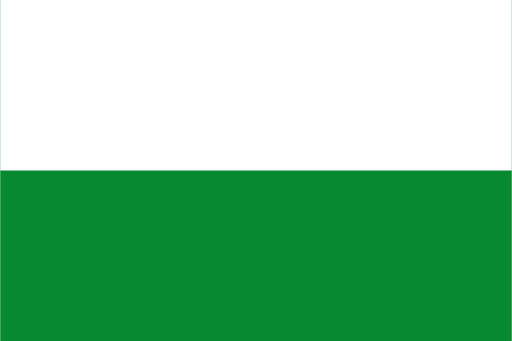
Esmeraldas Province
Humid rainforest and wide rivers reach a tropical Pacific coast.
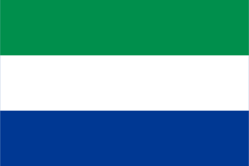
Galápagos Province
Volcanic islands rise from the Pacific with lava fields and isolated beaches.
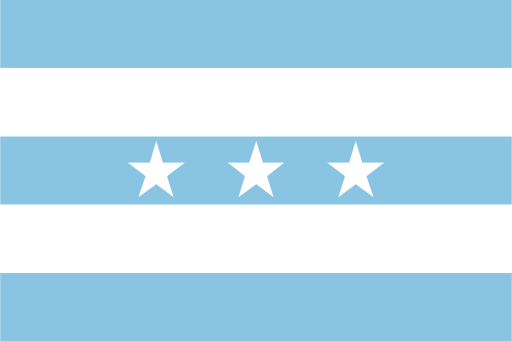
Guayas Province
Low Pacific plains and the Guayas river system surround Ecuador's largest city.
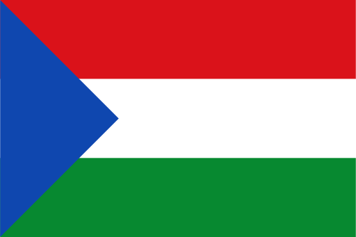
Imbabura Province
Volcanic lakes and high valleys lie between mountain ranges in northern Ecuador.
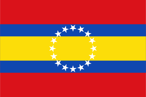
Loja Province
Dry southern valleys and green mountain ridges fill Ecuador's far south.
Cities
Browse this country’s city flags and available downloads.
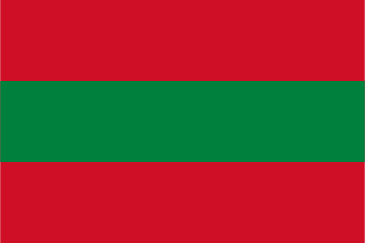
Ambato
Ambato is also known for the annual Festival of Fruit and Flowers.
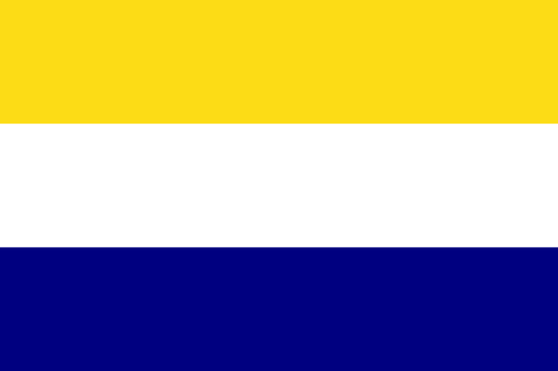
Daule
The historic city remains closely tied to the river, while suburban growth extends toward Guayaquil.

Durán
Historically important as a railway terminus, the city later expanded into a major industrial, logistics and residential center.
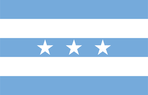
Guayaquil
Ecuador’s main commercial port, with landmarks including the Malecón 2000 waterfront and Las Peñas district.
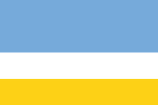
La Libertad
Commerce, fishing, petroleum-related activity and services dominate the economy.
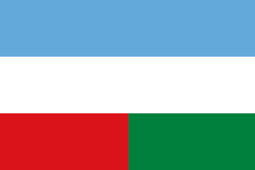
Machala
The city is one of the country's principal centers for banana production and export, supported by extensive plantations across the surrounding lowlands.
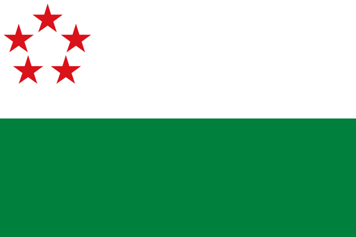
Milagro
The city is strongly associated with sugarcane and agro-industry, supported by warm temperatures and productive lowland soils.
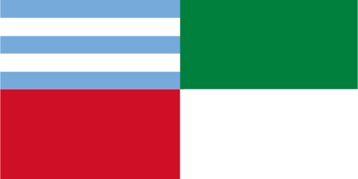
Portoviejo
The city suffered severe damage during Ecuador's 2016 earthquake, particularly in central commercial areas, and major reconstruction followed.
Quevedo
The city is an important transport and commercial center for agricultural districts producing bananas, cacao, maize, palm products and other tropical crops.
Quito
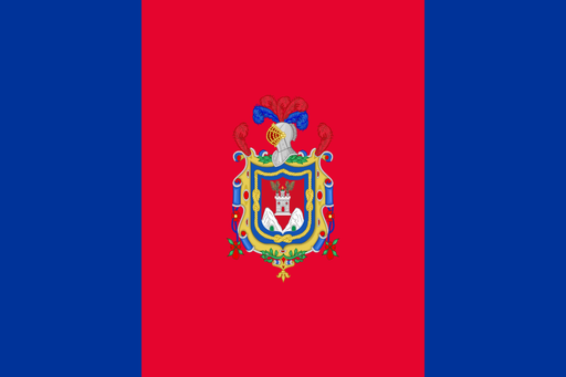
Quito lies in a narrow Andean basin beneath the Pichincha volcano and is the capital of Ecuador.

Riobamba
The city is surrounded by major volcanoes, including Chimborazo, Ecuador's highest mountain.
Tulcán
The city's cemetery is well known for elaborate topiary formed from cypress trees.