
Guatemala
Guatemala spans Central America between the Pacific and Caribbean drainage systems, with a mountainous volcanic core separating contrasting lowlands. The western highlands contain deep valleys and many major settlements, while the northern Petén is dominated by broad tropical lowlands and forest and the Pacific side descends toward a fertile coastal plain.
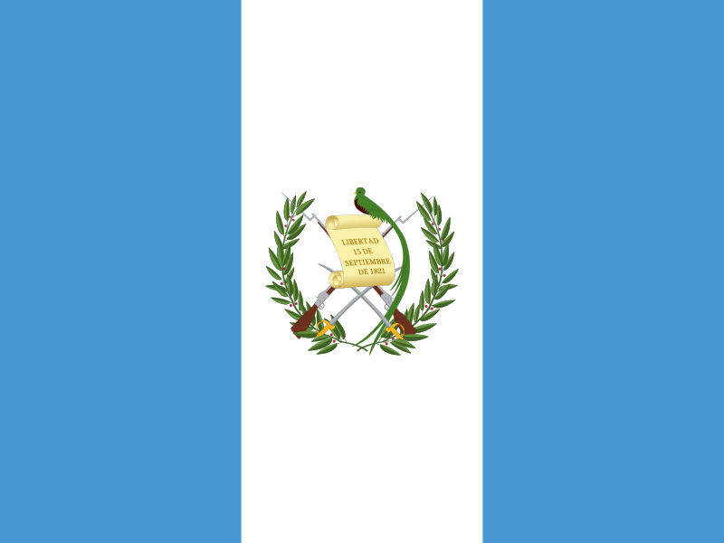
Guatemala’s flag has vertical light-blue, white and light-blue bands. In the version bearing the coat of arms, the central emblem includes a quetzal, a scroll and crossed weapons.
Guatemala
Regions and cities in our catalog
Regions
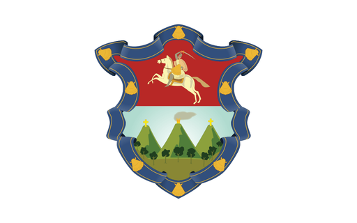
Browse this country’s regional flags and available downloads.
Alta Verapaz Department
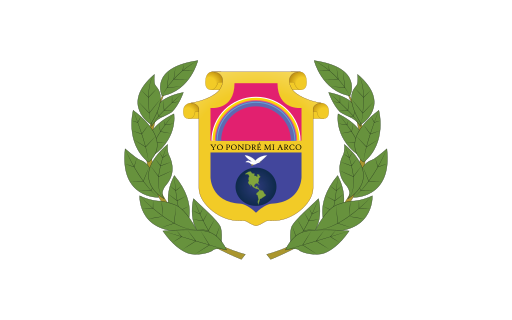
Rainforest mountains and limestone valleys fill Guatemala's humid northern highlands.
Baja Verapaz Department
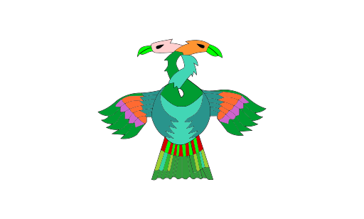
Dry intermontane valleys lie between pine-covered central Guatemalan ranges.
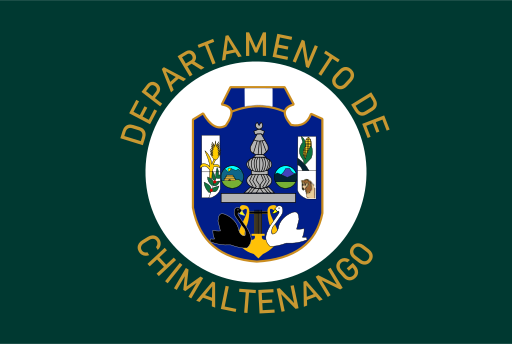
Chimaltenango Department
Volcanic highlands and fertile valleys rise west of Guatemala City.
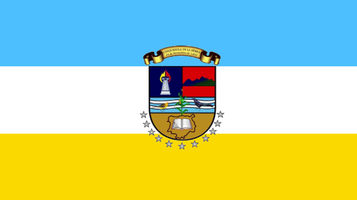
Chiquimula Department
Dry eastern valleys and rugged mountains surround a major border corridor.
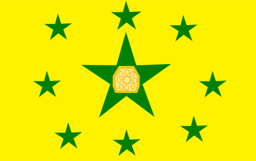
El Progreso Department
Dry river valleys and low mountain ranges line the route toward Guatemala's east.
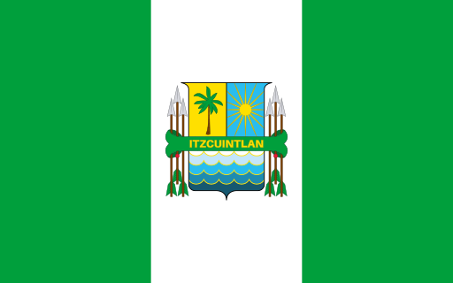
Escuintla Department
Volcanic foothills descend to broad sugarcane plains along the Pacific coast.
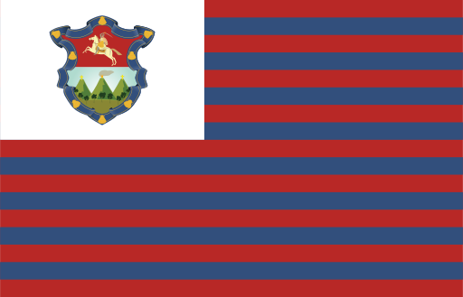
Guatemala Department
A high volcanic basin holds the country's largest metropolitan area.
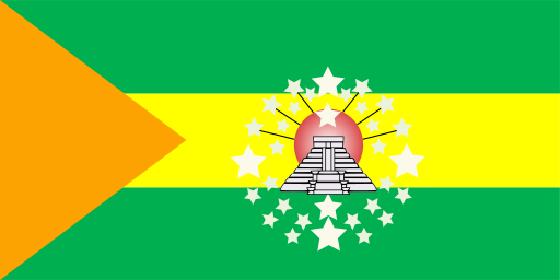
Huehuetenango Department
High mountain ranges and deep valleys fill Guatemala's rugged northwest.
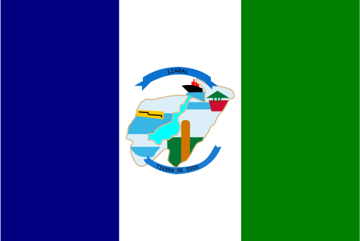
Izabal Department
Caribbean bays, rainforest, and the broad Motagua Valley meet in the northeast.
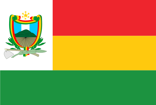
Jalapa Department
Dry highland basins and pine-covered mountains fill southeastern Guatemala.
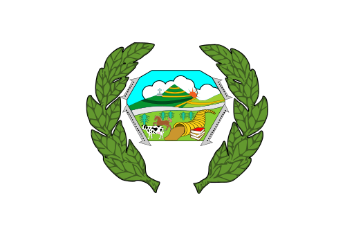
Jutiapa Department
Dry southeastern plains and volcanic hills extend toward the Pacific lowlands.
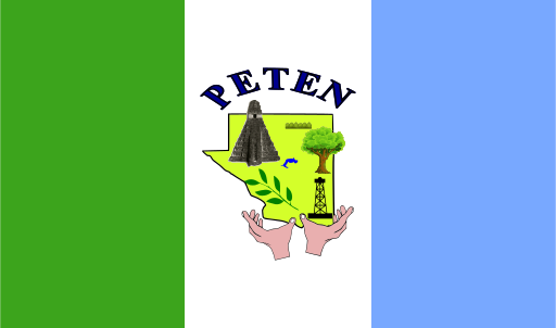
Petén Department
Vast tropical lowlands, forests, and limestone plains surround ancient Maya sites.
Cities
Browse this country’s city flags and available downloads.