
Myanmar
Myanmar stretches from the Himalayan foothills and highlands in the north through the broad Ayeyarwady basin to a long coastline on the Bay of Bengal and Andaman Sea. Mountain arcs frame much of the west and east, while the central dry zone contrasts with tropical deltas, coastal regions and forested uplands.
Myanmar’s flag has equal horizontal bands of yellow, green and red. A large white five-pointed star is centred across all three.
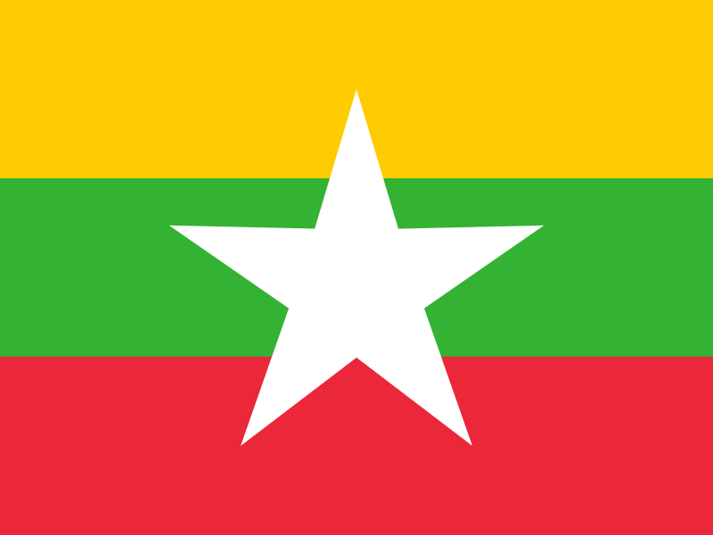
Myanmar
Regions and cities in our catalog
Regions
Browse this country’s regional flags and available downloads.
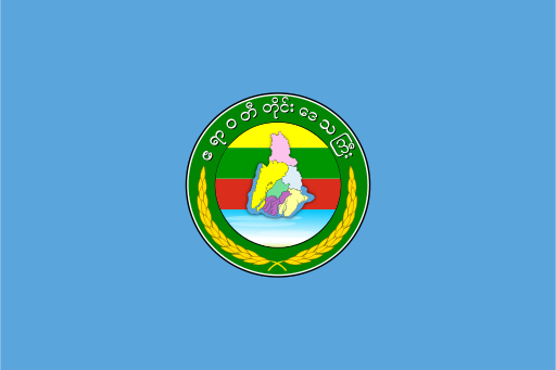
Ayeyarwady Region
A vast delta of rivers and mangrove channels reaches the Andaman Sea.
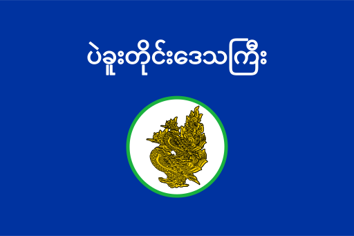
Bago Region
River plains and low forested hills stretch north of the coastal delta.
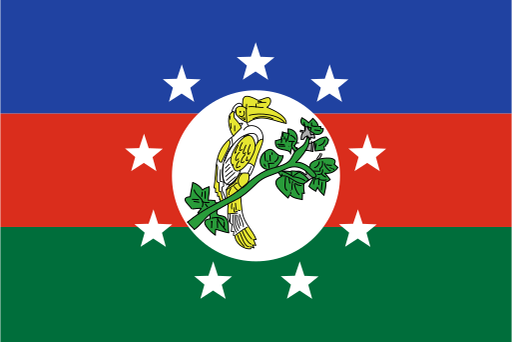
Chin State
Steep mountain chains and deep valleys dominate the western frontier.
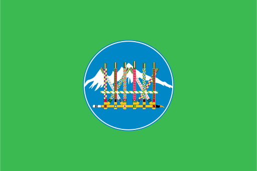
Kachin State
High Himalayan foothills descend through forest to the upper Ayeyarwady basin.
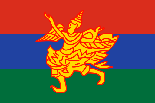
Kayah State
Mountain ridges and narrow valleys cover a compact eastern highland state.

Kayin State
Forested mountain ranges follow long river valleys toward the Andaman lowlands.
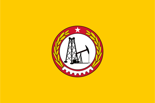
Magway Region
Dry central plains stretch west from the Ayeyarwady toward forested hills.
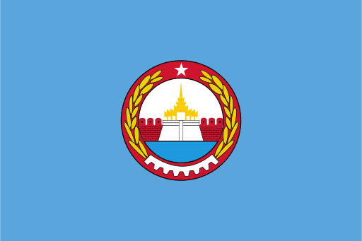
Mandalay Region
A broad dry-zone basin lies between the Ayeyarwady and eastern highlands.
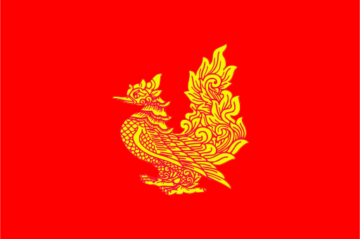
Mon State
A narrow tropical coastal plain lies beneath forested southeastern mountains.
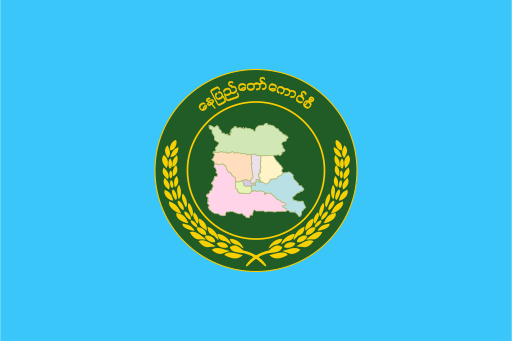
Naypyidaw Union Territory
Planned avenues spread across a broad inland basin between low mountain ranges.
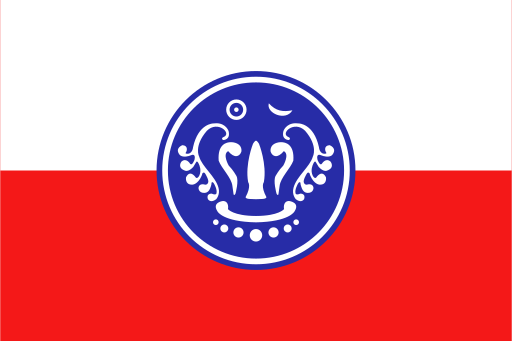
Rakhine State
Coastal plains and forested hills face a long shore on the Bay of Bengal.
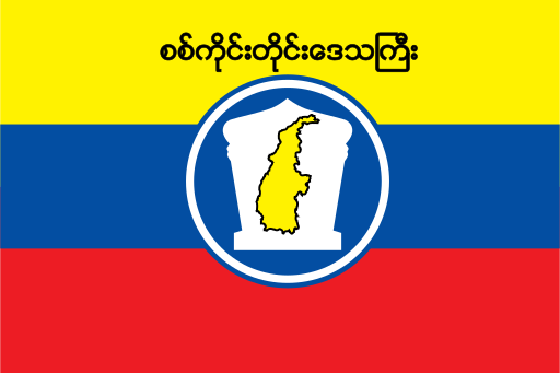
Sagaing Region
The upper Chindwin basin crosses plains before rising into western mountains.