
Solomon Islands
Solomon Islands consists of hundreds of islands in the southwest Pacific, arranged mainly in two long chains southeast of Papua New Guinea. Larger islands are rugged, volcanic and heavily forested, while smaller coral islands, reefs and lagoons create intricate coastlines; most communities remain concentrated along coastal strips and river valleys.
The Solomon Islands flag is divided diagonally by a narrow yellow band between blue above and green below. Five white stars occupy the blue field near the hoist.
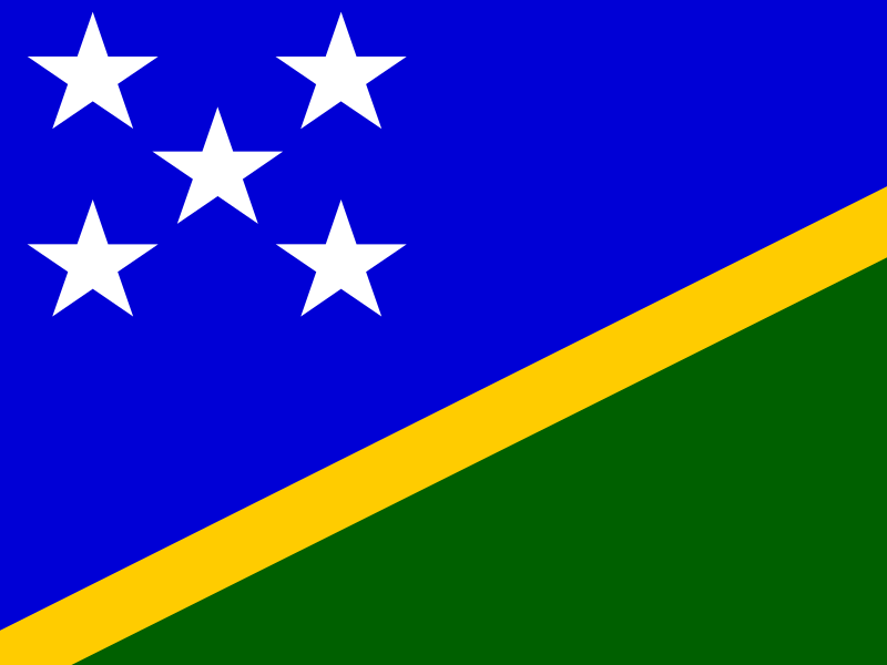
Solomon Islands
Regions and cities in our catalog
Regions
Browse this country’s regional flags and available downloads.
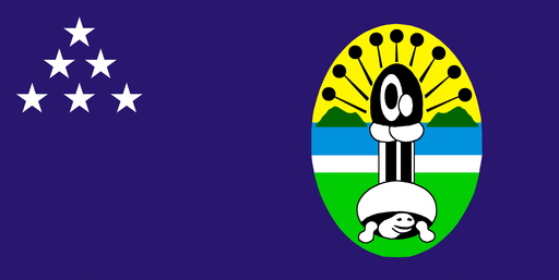
Central Province
Small tropical islands, lagoons, and reefs scatter across the central Solomons.
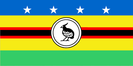
Choiseul Province
A long mountainous island rises from reef-fringed waters in the western Solomons.
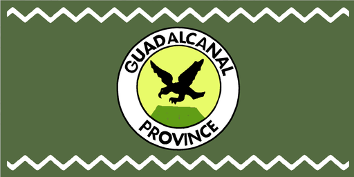
Guadalcanal Province
Rugged mountains and tropical river valleys extend across the island around Honiara.
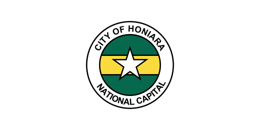
Honiara
Honiara is the capital of Solomon Islands.
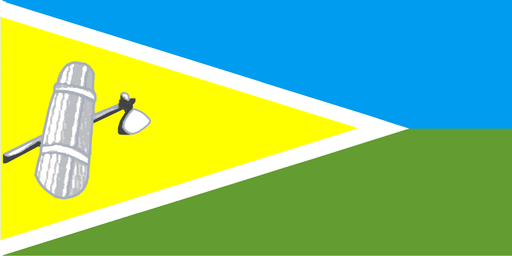
Isabel Province
A long forested island with rugged mountains and reefs stretches across the central Solomons.
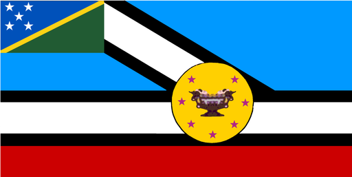
Makira-Ulawa Province
Rainforest mountains and coral coasts cover a remote island chain in the southeast.
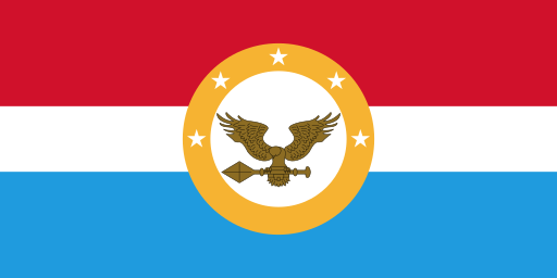
Malaita Province
A mountainous tropical island and nearby islets fill the eastern central Solomons.
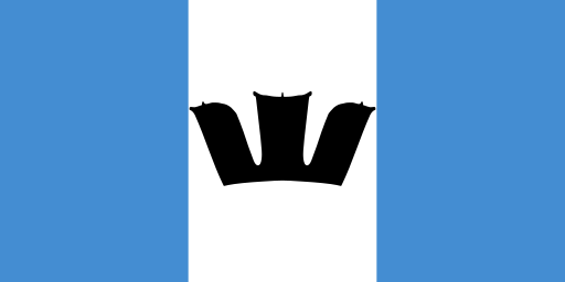
Rennell and Bellona Province
Two isolated raised coral islands rise from deep seas south of the main Solomons.
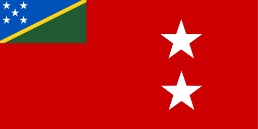
Temotu Province
Remote volcanic islands and coral reefs scatter across the far eastern Solomons.
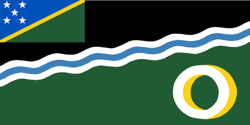
Western Province
Large lagoons, forested islands, and coral reefs fill the western Solomon archipelago.
Cities
Browse this country’s city flags and available downloads.