
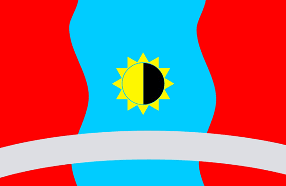
About the flag
Aldansky District uses an official municipal flag derived from its local heraldic identity. The district emblem provides the main visual reference, while uncertain interpretations of individual colors or charges are not added.
Aldansky District — available formats: PNG, JPG, WebP, PDF. Choose an image size. No sign-up needed
Raster image for digital graphics.
Click a HEX or RGB value to copy it.
Aldansky District uses an official municipal flag derived from its local heraldic identity. The district emblem provides the main visual reference, while uncertain interpretations of individual colors or charges are not added.
Region · Russia
Aldansky District lies in southern Sakha in eastern Siberia, where taiga forests, mountain ranges, river valleys, and mineral-bearing uplands dominate the landscape. Settlements are widely separated by large areas of forest. Today gold mining, transport, forestry-related activity, energy, public services, construction, and local commerce support the economy. Aldan is the principal administrative and industrial center. Railways and roads provide important links through southern Sakha, while severe winters, long distances, and rugged terrain strongly influence infrastructure and settlement.
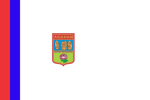
The Yenisei valley opens into a broad steppe basin beneath southern Siberian mountains.
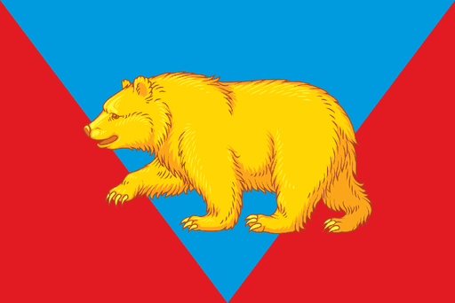
Taiga forests, rivers, and agricultural clearings cover the eastern Siberian interior.

Forested Caucasus foothills rise above fertile plains in the northwest.

Dry steppe valleys and low mountain ridges cover southeastern Transbaikalia.