Amnat Charoen — available formats: SVG, PNG, JPG, WebP, PDF. Choose an image size. No sign-up needed
About the flag
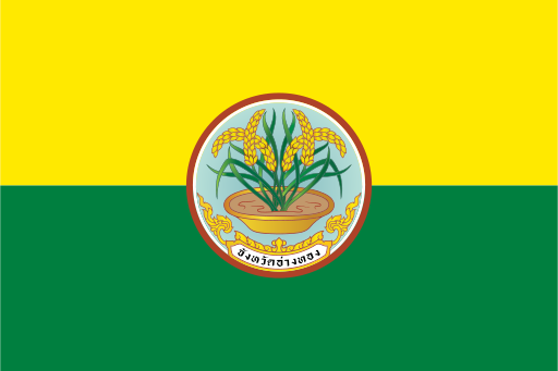
Amnat Charoen has an official provincial flag documented by Thai provincial flag references. It uses the province's official seal as the principal identifying device, following the common administrative practice of pairing a distinctive field with the provincial emblem. Detailed symbolic interpretations are not added where official English explanations are limited.
About Amnat Charoen
Region · Thailand
Amnat Charoen lies in northeastern Thailand in the eastern part of the Khorat Plateau, with low plains, seasonal streams and agricultural countryside. Amnat Charoen town is the provincial center. Today rice cultivation, cassava, livestock, local trade and public services form much of the economy. Rural communities dominate the landscape, with fields and small reservoirs spreading between towns. Roads connect the province with larger northeastern commercial centers and the Mekong corridor, while temples and local cultural sites support modest domestic tourism.