

About the flag
Anabarsky District uses an official municipal flag associated with its district heraldry and northern identity. Detailed symbolic interpretation is omitted where reliable documentation is limited.
Anabarsky District — available formats: SVG, PNG, JPG, WebP, PDF. Choose an image size. No sign-up needed
Click a HEX or RGB value to copy it.
Anabarsky District uses an official municipal flag associated with its district heraldry and northern identity. Detailed symbolic interpretation is omitted where reliable documentation is limited.
Region · Russia
Anabarsky District lies in the far northwestern part of Sakha, extending across Arctic tundra, river valleys, permafrost, wetlands, and a remote Laptev Sea coast. Settlements are small and widely separated. Today mining, reindeer herding, fishing, public services, transport, and traditional northern activities support the local economy. Saskylakh is the main administrative center. Air and seasonal river routes are crucial because permanent road connections are limited, while extreme cold, long winters, and vast distances strongly shape infrastructure and community life.
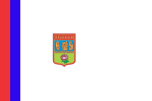
The Yenisei valley opens into a broad steppe basin beneath southern Siberian mountains.
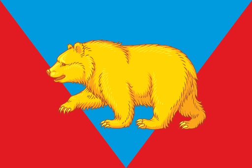
Taiga forests, rivers, and agricultural clearings cover the eastern Siberian interior.
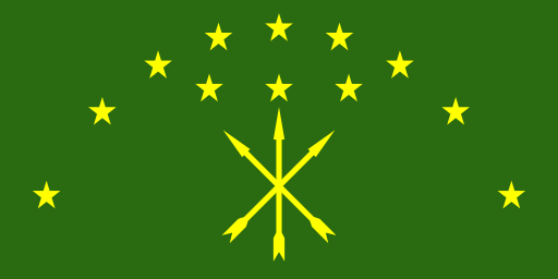
Forested Caucasus foothills rise above fertile plains in the northwest.
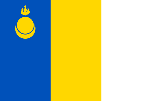
Dry steppe valleys and low mountain ridges cover southeastern Transbaikalia.