Antratsyt — available formats: PNG, JPG, WebP, PDF. Choose an image size. No sign-up needed
About the flag
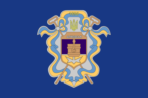
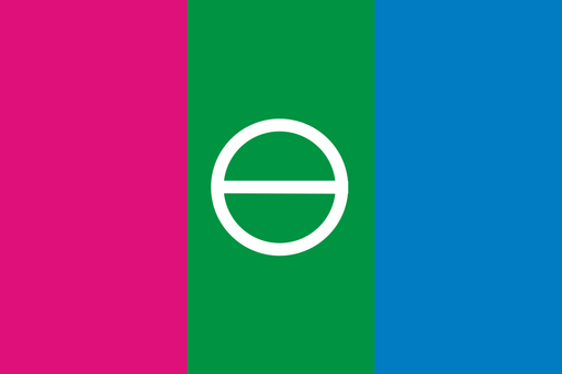
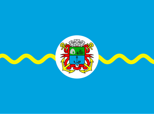
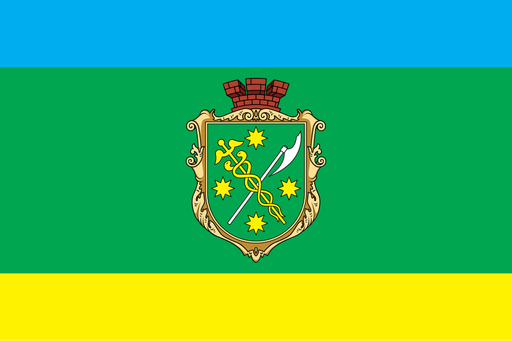
Antratsyt has a Ukrainian municipal flag associated with the city's official coat of arms and civic identity. Those symbols should be distinguished from banners used by occupying administrations. Because dependable technical descriptions of the municipal flag are limited, no uncertain details or symbolic interpretations are added.
About Antratsyt
City · Ukraine
Antratsyt lies in Luhansk Oblast in eastern Ukraine, within the rolling steppe and coal-bearing uplands of the Donets Basin. The city grew from mining settlements and became strongly dependent on coal extraction, rail transport, and related industry. Mining, engineering, local services, retail, education, and transport historically supported the economy. Antratsyt has been under Russian occupation since 2014, while it remains internationally recognized as part of Ukraine. Mine sites, spoil heaps, railway infrastructure, apartment districts, and surrounding steppe dominate the landscape, reflecting the city's industrial origins.