
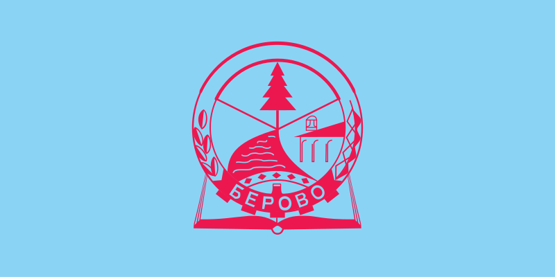
About the flag
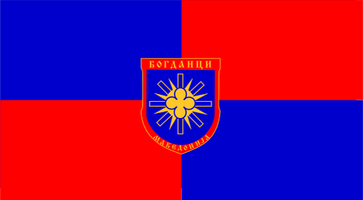
Berovo Municipality uses a municipal flag associated with its civic emblem, but reliable sources do not consistently establish the complete standardized construction and formal symbolism. No uncertain details are stated.
Berovo Municipality — available formats: SVG, PNG, JPG, WebP, PDF. Choose an image size. No sign-up needed
Click a HEX or RGB value to copy it.
Berovo Municipality uses a municipal flag associated with its civic emblem, but reliable sources do not consistently establish the complete standardized construction and formal symbolism. No uncertain details are stated.
Region · North Macedonia
Berovo Municipality lies in eastern North Macedonia near the upper Bregalnica River, surrounded by forested mountains, upland valleys, farmland, and mountain pastures. Berovo is the main town and administrative center. Today forestry-related activity, agriculture, livestock, food production, tourism, public services, and small businesses support the economy. Roads connect the municipality with other eastern towns and regional border routes, while the nearby lake, mountain forests, hiking areas, and cooler climate make nature tourism an important part of local development.
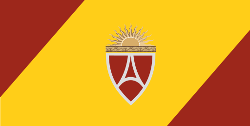
Dense urban districts spread across the flat Skopje basin south of the Vardar.
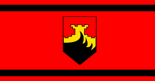
Flat Skopje lowlands and farmland lie beneath the northern Balkan foothills.
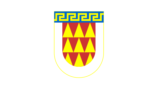
The Pelagonia plain meets forested mountains around a major southern city.
Warm agricultural lowlands lie among low hills near the lower Vardar valley.