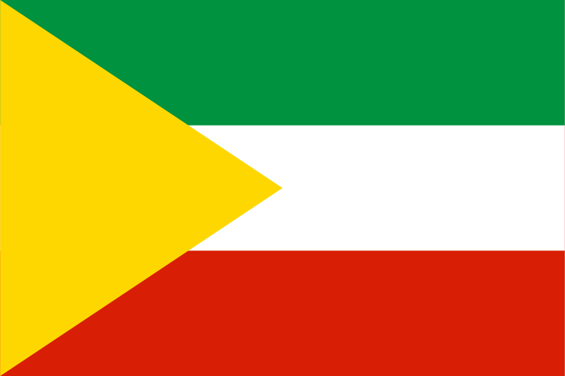
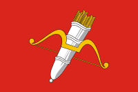
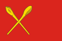
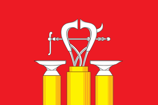
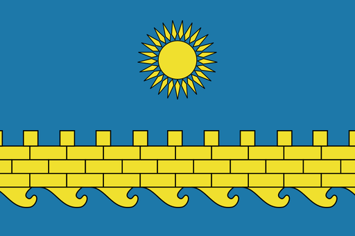
Chita — available formats: SVG, PNG, JPG, WebP, PDF. Choose an image size. No sign-up needed
About the flag
Chita uses an official municipal flag based on its historic coat of arms. The design forms part of the city's formal heraldic identity and should be distinguished from the flag of Zabaykalsky Krai. Detailed heraldic meanings are not expanded beyond the registered description.
About Chita
City · Russia
Chita lies in eastern Siberia at the confluence of the Chita and Ingoda rivers, within a broad intermontane basin of forest-steppe and low hills. It is the capital of Zabaykalsky Krai and a major center for administration, rail transport, education, commerce, and military services. Logistics, mining support, manufacturing, retail, construction, and public institutions support the economy. The Trans-Siberian Railway made Chita an important eastern transport hub, and it remains a key junction toward the Russian Far East and Mongolia-facing routes. Broad avenues, hills, railway districts, parks, and surrounding steppe define the city.