
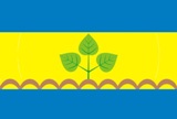
About the flag
Churapchinsky District uses an official municipal flag derived from local heraldic symbols. The district emblem provides the main visual identity, while uncertain interpretations of colors and individual figures are omitted.
Churapchinsky District — available formats: PNG, JPG, WebP, PDF. Choose an image size. No sign-up needed
Raster image for digital graphics.
Click a HEX or RGB value to copy it.
Churapchinsky District uses an official municipal flag derived from local heraldic symbols. The district emblem provides the main visual identity, while uncertain interpretations of colors and individual figures are omitted.
Region · Russia
Churapchinsky District lies in central Sakha in eastern Siberia, where permafrost plains, lakes, taiga woodland, meadows, and agricultural settlements dominate the landscape. Churapcha is the principal administrative center. Today cattle and horse raising, agriculture, education, public services, local trade, and small businesses support the economy. Roads connect the district with Yakutsk and neighbouring central areas, while extreme seasonal temperatures and frozen ground strongly influence construction, transport, farming, and everyday life across its widely dispersed villages.
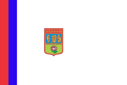
The Yenisei valley opens into a broad steppe basin beneath southern Siberian mountains.
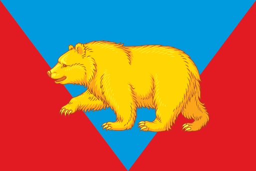
Taiga forests, rivers, and agricultural clearings cover the eastern Siberian interior.

Forested Caucasus foothills rise above fertile plains in the northwest.
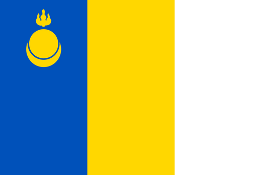
Dry steppe valleys and low mountain ridges cover southeastern Transbaikalia.