
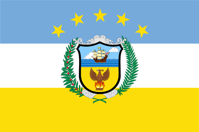
About the flag
Colón Province uses local governmental symbols, but a single standardized provincial flag and its authoritative symbolism are not consistently documented in widely available sources. No uncertain visual details are therefore included.
Colón Province — available formats: SVG, PNG, JPG, WebP, PDF. Choose an image size. No sign-up needed
Click a HEX or RGB value to copy it.
Colón Province uses local governmental symbols, but a single standardized provincial flag and its authoritative symbolism are not consistently documented in widely available sources. No uncertain visual details are therefore included.
Region · Panama
Colón Province lies on Panama’s Caribbean side around the northern entrance to the Panama Canal. Tropical rainforest, lakes, river basins, coastal settlements, and major port infrastructure dominate the landscape. Today shipping, logistics, free-zone commerce, canal services, tourism, transport, and public administration are central to the economy. Colón city is the provincial capital and one of the country’s main port centers, while large container terminals operate nearby. Roads and railways across the isthmus connect the province directly with Panama City and Pacific-side transport networks.
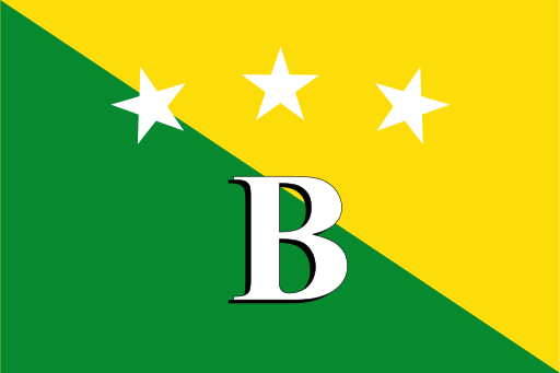
Rainforest islands and Caribbean lagoons border Panama’s mountainous northwest.
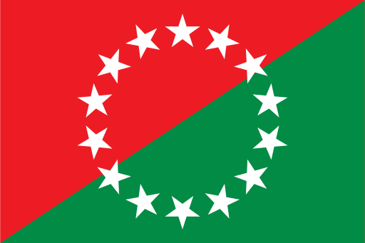
Volcanic highlands descend through fertile valleys to Panama’s western Pacific coast.

Pacific lowlands rise toward forested central mountains and volcanic uplands.
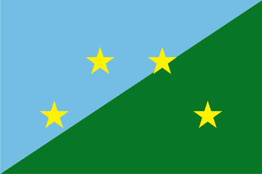
Dense tropical rainforest and broad river valleys fill Panama’s eastern frontier.