
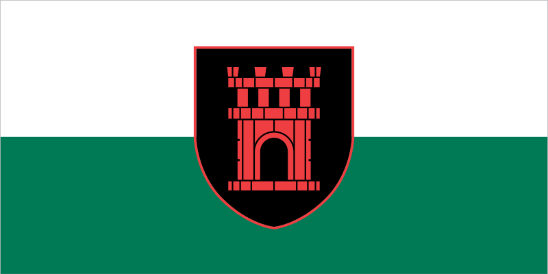
About the flag
Črnomelj Municipality uses an official civic flag based on its established coat of arms and local heraldic tradition. The heraldic emblem is the main visual element, while unsupported color meanings are avoided.
Črnomelj Municipality — available formats: SVG, PNG, JPG, WebP, PDF. Choose an image size. No sign-up needed
Click a HEX or RGB value to copy it.
Črnomelj Municipality uses an official civic flag based on its established coat of arms and local heraldic tradition. The heraldic emblem is the main visual element, while unsupported color meanings are avoided.
Region · Slovenia
Črnomelj Municipality lies in southeastern Slovenia within Bela Krajina, where karst hills, forests, vineyards, farmland, and the Kolpa River valley shape the landscape. Črnomelj is the principal urban and administrative center. Today manufacturing, agriculture, wine production, tourism, public services, trade, and small businesses support the economy. Roads connect the municipality with Novo Mesto and other southeastern regions, while river recreation, vineyards, forests, traditional villages, and cultural festivals contribute to tourism and local identity.

The Vipava Valley lies between limestone plateaus and the lower western mountains.
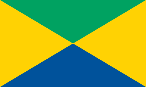
A short Adriatic shoreline meets flysch hills at Slovenia's coastal edge.

Lake Bohinj fills a deep Julian Alpine valley beneath Slovenia's highest peaks.
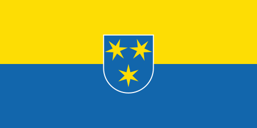
The Savinja valley narrows beneath wooded hills around a major eastern city.