Gilgit-Baltistan — available formats: SVG, PNG, JPG, WebP, PDF. Choose an image size. No sign-up needed
About the flag
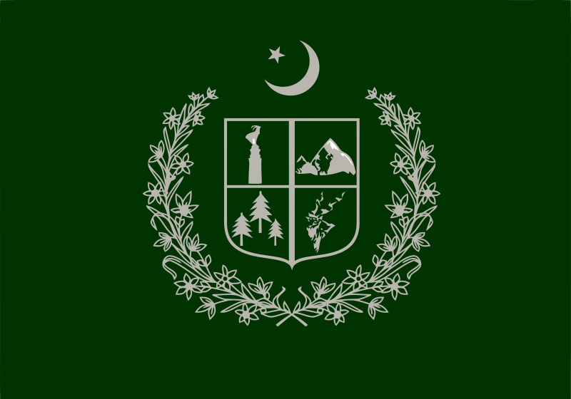
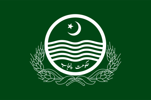
A regional flag is used for Gilgit-Baltistan and places the territory’s official emblem prominently on the field. The emblem incorporates mountain imagery and national symbols associated with Pakistan. Reliable public sources are less consistent about detailed construction and official interpretations of every component, so no additional symbolism is assigned.
About Gilgit-Baltistan
Region · Pakistan
Gilgit-Baltistan is an administratively governed territory of Pakistan in the high mountain north, where the Karakoram, Himalaya, and Hindu Kush systems meet. Glaciers, deep river valleys, high plateaus, and some of the world’s highest peaks dominate the landscape. Today tourism, agriculture, hydropower, trade, public services, and transport provide important economic activity. Gilgit is the principal administrative center, while Skardu is a major gateway to mountain tourism. The Karakoram Highway forms the territory’s main overland corridor, supplemented by domestic flights and difficult mountain roads.