
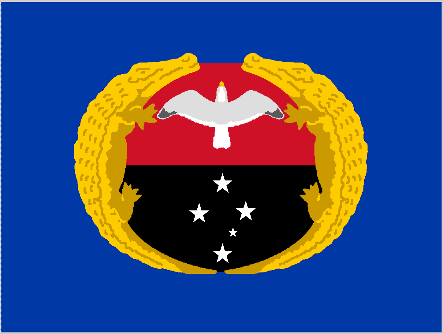
About the flag
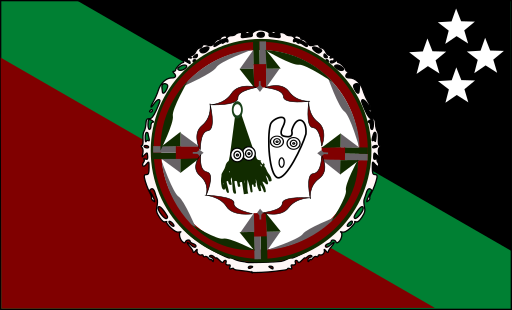
A provincial flag is used for Gulf Province, but a complete description of its standardized appearance and reliably documented symbolism is not provided here because the individual details are not sufficiently certain.
Gulf Province — available formats: PNG, JPG, WebP, PDF. Choose an image size. No sign-up needed
Raster image for digital graphics.
Click a HEX or RGB value to copy it.
A provincial flag is used for Gulf Province, but a complete description of its standardized appearance and reliably documented symbolism is not provided here because the individual details are not sufficiently certain.
Region · Papua New Guinea
Gulf Province lies on the southern coast of Papua New Guinea around the Gulf of Papua, where large rivers spread into deltas, mangroves, wetlands, and low tropical plains. Inland areas rise gradually toward forested hills and mountains. Today fisheries, subsistence agriculture, forestry-related activity, energy development, public services, and local trade support the provincial economy. Kerema is the capital and principal administrative center. Rivers and coastal waters remain major transport routes because road connections are limited across much of the province, leaving many communities dependent on boats and small aircraft.
Volcanic mountains, rainforest, and coral coasts fill a large western Pacific island.
Mountain valleys descend through rainforest toward the Gulf of Papua coast.
Steep highland valleys and rugged ridges fill the central New Guinea mountains.
Volcanic peaks rise above rainforest and sheltered bays on eastern New Britain.