
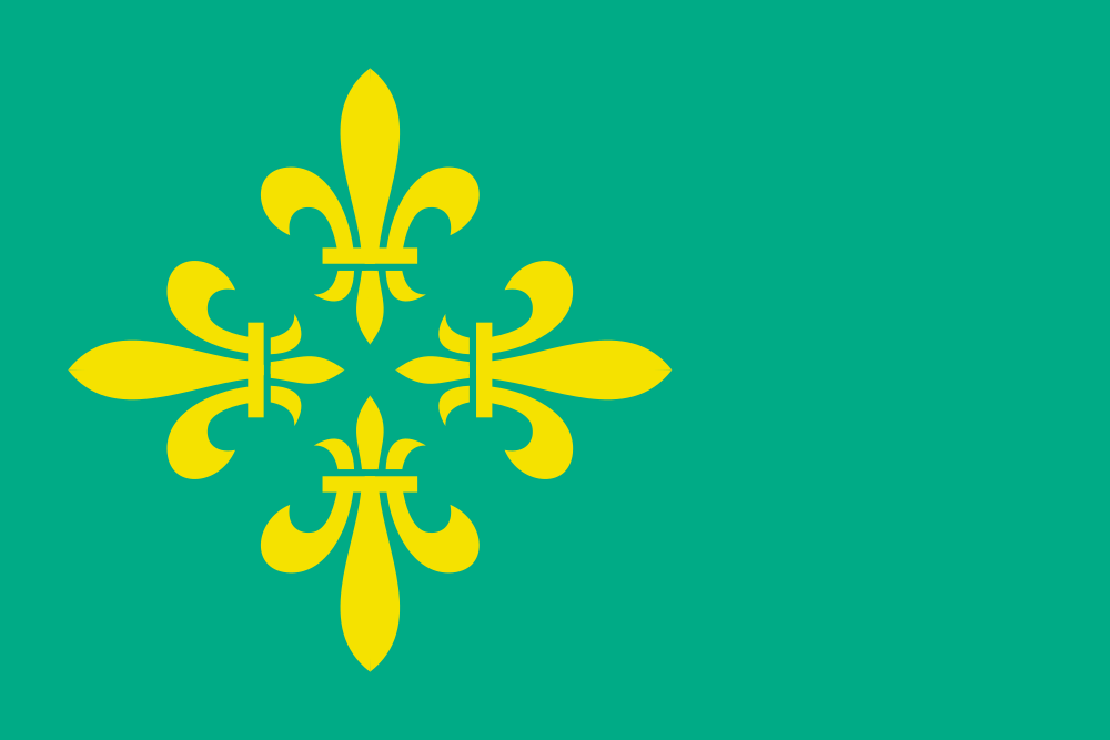
About the flag
A local village flag is documented for Hooghalen, but accessible sources do not consistently provide its complete standardized construction and official symbolism. No uncertain visual details are included.
Hooghalen — available formats: PNG, JPG, WebP, PDF. Choose an image size. No sign-up needed
Raster image for digital graphics.
Click a HEX or RGB value to copy it.
A local village flag is documented for Hooghalen, but accessible sources do not consistently provide its complete standardized construction and official symbolism. No uncertain visual details are included.
Region · Kingdom of the Netherlands
Hooghalen is a village in central Drenthe in the northeastern Netherlands, surrounded by forests, heathland, sandy agricultural fields, and nature reserves. Its setting lies close to major north-south routes while retaining a strongly rural character. Today local services, agriculture, tourism, small businesses, and commuting support the community. Roads and cycling routes connect Hooghalen with Assen, Beilen, and nearby villages, while forests, trails, memorial sites, and heathlands make the surrounding area significant for both recreation and cultural tourism.
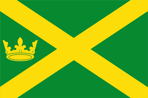
Sandy ridges descend toward peat lowlands and the winding Hunze valley.
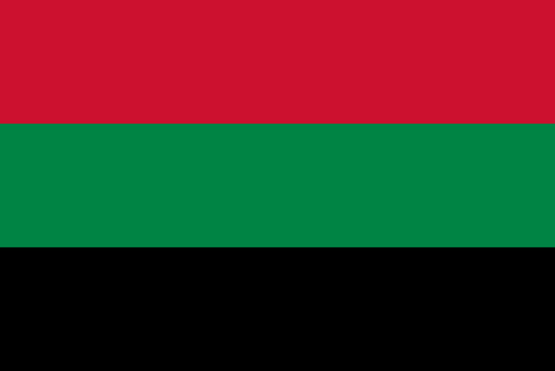
Lakes, reclaimed polder land, and glasshouses lie southwest of Amsterdam.

Wooded farmland and small streams spread across the eastern Achterhoek.
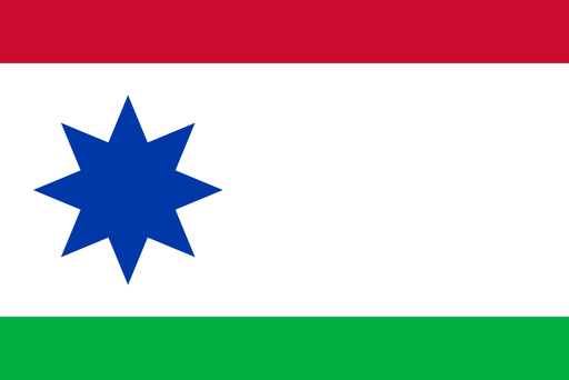
Peat lowlands and sandy farmland meet in the eastern Frisian countryside.