Ibaraki Prefecture — available formats: SVG, PNG, JPG, WebP, PDF. Choose an image size. No sign-up needed
About the flag
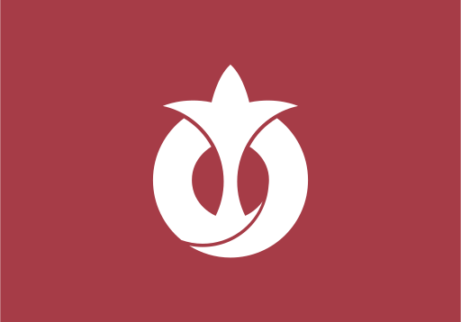
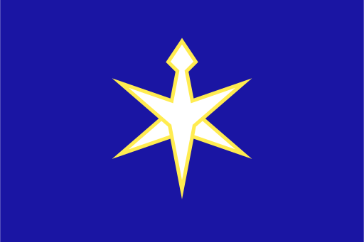
The flag has an indigo field with a white stylized rosebud centered on it. The rose is the prefectural flower, and the emblem reduces it to a smooth geometric form rather than a naturalistic drawing. Official explanations connect the symbol with vitality, development, and the aspirations of the prefecture. Indigo provides a strong background for the white mark and distinguishes the banner from neighboring prefectural designs. The same rose-based emblem is used as a central element of Ibaraki's contemporary visual identity.
About Ibaraki Prefecture
Region · Japan
Ibaraki Prefecture lies northeast of Tokyo on the eastern Kantō Plain, extending from inland agricultural districts to a long Pacific coastline. Mito is the prefectural capital, while Tsukuba is an internationally important science and research center. Manufacturing, electronics, chemicals, agriculture, fisheries, energy, and research institutions support a diversified economy. Flat lowlands contain extensive rice fields and other farms, while northern districts become hillier and more forested. Railways and expressways connect southern Ibaraki closely with Greater Tokyo, making parts of the prefecture important commuting, logistics, and industrial areas.