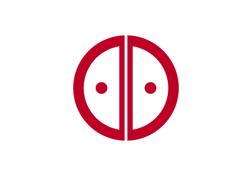
Ina — available formats: SVG, PNG, JPG, WebP, PDF. Choose an image size. No sign-up needed
About the flag
Ina uses a municipal flag based on its official city emblem, presented as a simple emblem-centered design. The mark identifies the municipal government and appears on civic materials and public facilities. Detailed color symbolism is omitted here because it should be taken only from the city's formal specifications.
About Ina
City · Japan
Ina lies in Nagano Prefecture in the broad Ina Valley between the Central and Southern Japanese Alps. It is a regional center for manufacturing, agriculture, education, commerce, tourism, and public services. Electronics, precision industries, farming, food production, retail, and mountain tourism contribute to the local economy. The Tenryū River crosses the valley, while surrounding districts extend from cultivated lowlands into forested mountain slopes. Roads and railways connect Ina with other parts of central Nagano, and the area's alpine views are among its most recognizable geographic features.