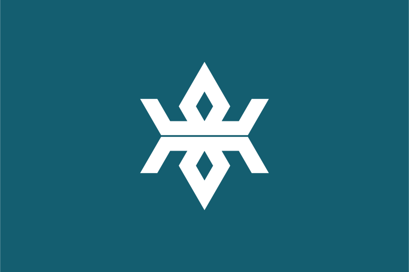
Iwate Prefecture — available formats: SVG, PNG, JPG, WebP, PDF. Choose an image size. No sign-up needed
About the flag
The flag has a bluish-gray field with a white emblem based on the kanji 岩, the first character in the prefecture's name. The character is heavily stylized into a symmetrical geometric form with strong vertical and horizontal balance. Its construction gives the impression of stability and solidity without adding separate pictorial elements. The unusual muted background distinguishes the banner from the brighter colors used by many other prefectures. The emblem serves as the prefecture's principal official mark on both the flag and administrative material.
About Iwate Prefecture
Region · Japan
Iwate Prefecture occupies a large section of northeastern Honshu, with a rugged Pacific coastline, mountainous interior, forested valleys, and high basins. Morioka is the prefectural capital and the main administrative, educational, and commercial center. Agriculture, forestry, fisheries, food processing, manufacturing, and tourism contribute to the economy. Coastal communities are closely linked to fishing and aquaculture, while inland valleys support rice and livestock farming. Railways and expressways follow the more accessible interior corridor, while many eastern districts are separated by steep terrain and deeply indented coastal landforms.