
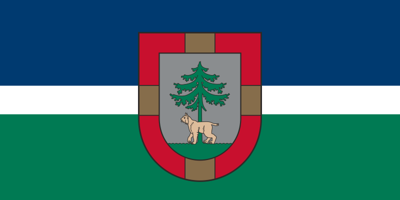
About the flag
Jēkabpils Municipality uses an official flag based on its municipal coat of arms and established heraldic identity. The design is described without assigning uncertain symbolic meanings to individual colors or charges.
Jēkabpils Municipality — available formats: SVG, PNG, JPG, WebP, PDF. Choose an image size. No sign-up needed
Click a HEX or RGB value to copy it.
Jēkabpils Municipality uses an official flag based on its municipal coat of arms and established heraldic identity. The design is described without assigning uncertain symbolic meanings to individual colors or charges.
Region · Latvia
Jēkabpils Municipality occupies a broad area of southeastern Latvia around the Daugava River and adjoining forests, lakes, farmland, and low uplands. Jēkabpils is the principal urban and administrative center. Today agriculture, forestry-related industries, manufacturing, logistics, energy, public services, and local trade support the economy. Major roads and railways follow the Daugava corridor and connect the municipality with Riga and eastern Latvia, while river landscapes, nature areas, historic towns, and rural recreation contribute to tourism.
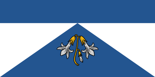
Gauja lowlands, pine forests, lakes, and suburbs spread north of Riga.

The Daugava valley crosses forests, lakes and rolling central Latvian countryside.
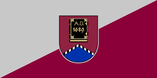
Hilly northeastern uplands surround forests and deep lakes near the borderlands.
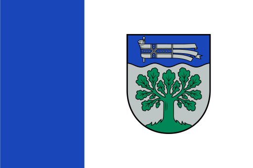
The Daugava bends through forests and farmland across Latvia's southeastern edge.