
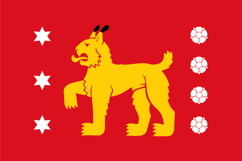
About the flag
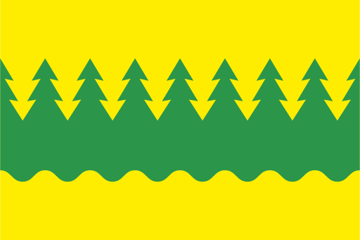
Kanta-Häme uses its historic regional coat of arms as the basis of traditional armorial flags. The heraldic emblem provides the main regional symbolism, and no unsupported interpretation of individual colors or charges is included.
Kanta-Häme — available formats: SVG, PNG, JPG, WebP, PDF. Choose an image size. No sign-up needed
Click a HEX or RGB value to copy it.
Kanta-Häme uses its historic regional coat of arms as the basis of traditional armorial flags. The heraldic emblem provides the main regional symbolism, and no unsupported interpretation of individual colors or charges is included.
Region · Finland
Kanta-Häme lies in southern Finland between the country's largest metropolitan regions. Forests, lakes, cultivated valleys, eskers, and small cities form a varied inland landscape. Today manufacturing, logistics, food production, technology, agriculture, tourism, public services, and education support the economy. Hämeenlinna is the main administrative center, while other towns have strong industrial and transport roles. Major motorway and railway corridors connect the region directly with Helsinki and Tampere, making it an important commuting, logistics, and manufacturing zone in southern Finland.
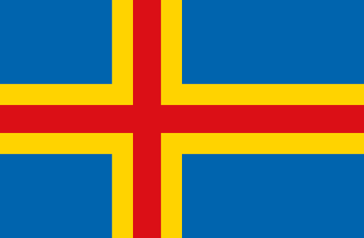
Thousands of rocky Baltic islands form a low archipelago between Finland and Sweden.
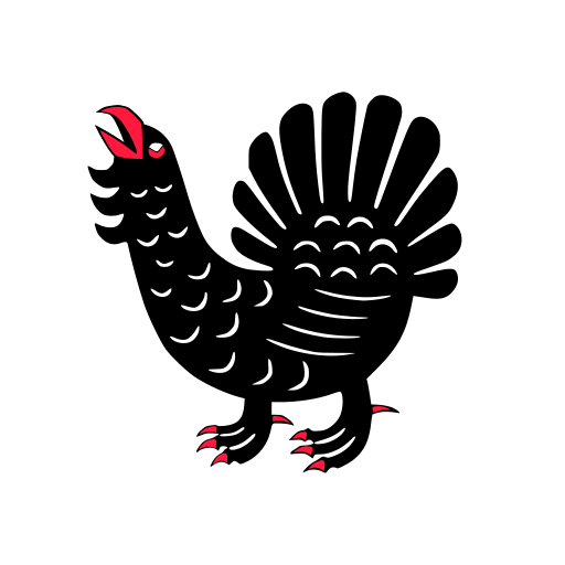
Large lakes, forested ridges, and rolling uplands fill Finland’s central interior.
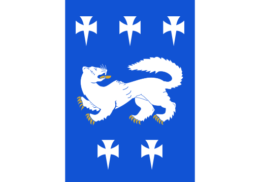
Flat western lowlands, forests, and river valleys reach toward the Gulf of Bothnia.
Vast boreal forests, lakes, and rolling uplands stretch across eastern Finland.