Kizlyar — available formats: PNG, JPG, WebP, PDF. Choose an image size. No sign-up needed
About the flag
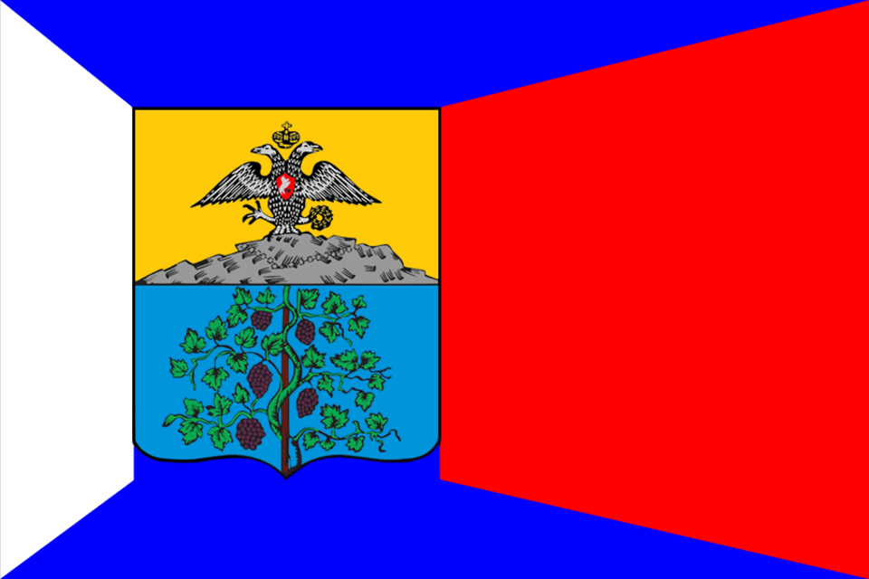
Kizlyar's municipal flag uses the city coat of arms and official heraldic colors as its principal design. Local symbolism reflects the town's historical identity within the Terek and Caspian lowlands. Because detailed flag explanations are not consistently reproduced, no additional meaning is assigned beyond the established arms. The design should be distinguished from regional symbols of Dagestan.
About Kizlyar
City · Russia
Kizlyar lies in northern Dagestan near the lower Terek basin and the Caspian lowlands. Dry steppe, irrigated farmland, river channels, and vineyards surround the city. Today Kizlyar is known for agriculture, food and beverage production, manufacturing, trade, and regional services. Its location has long made it a commercial center between the North Caucasus and Caspian routes. Roads connect the city with Makhachkala, Khasavyurt, and settlements along the lower Terek.