
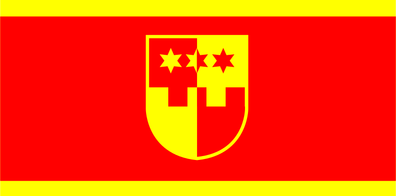
About the flag
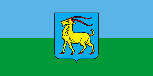
The county flag incorporates the official coat of arms as its main identifying device. The heraldic design represents the county institution, while no speculative meanings are assigned to individual colors or secondary figures.
Krapina-Zagorje County — available formats: SVG, PNG, JPG, WebP, PDF. Choose an image size. No sign-up needed
Click a HEX or RGB value to copy it.
The county flag incorporates the official coat of arms as its main identifying device. The heraldic design represents the county institution, while no speculative meanings are assigned to individual colors or secondary figures.
Region · Croatia
Krapina-Zagorje County lies north of Zagreb in a landscape of densely settled hills, narrow valleys, vineyards, forests, and small agricultural areas. The terrain forms part of the Croatian Zagorje region and is closely connected with the capital area. Today manufacturing, tourism, agriculture, wine production, health services, trade, and small businesses support the economy. Krapina is the administrative center, while several spa and industrial towns serve surrounding communities. Roads and railway routes connect the county with Zagreb, Varaždin, and cross-border transport corridors.
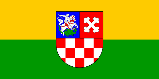
Rolling farmland and wooded Bilogora hills spread across central Croatia.
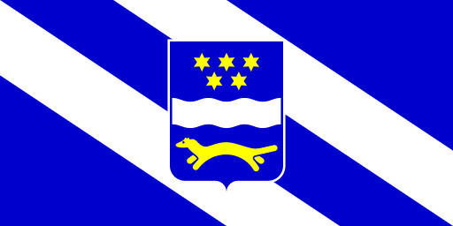
The Sava River plain stretches beneath low hills across eastern Croatia.
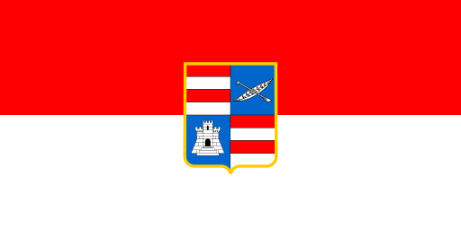
A narrow Adriatic coast of limestone mountains, islands, and fertile valleys.
Adriatic coves and limestone hills cover a peninsula in the northern sea.