La Fría — available formats: PNG, JPG, WebP, PDF. Choose an image size. No sign-up needed
About the flag
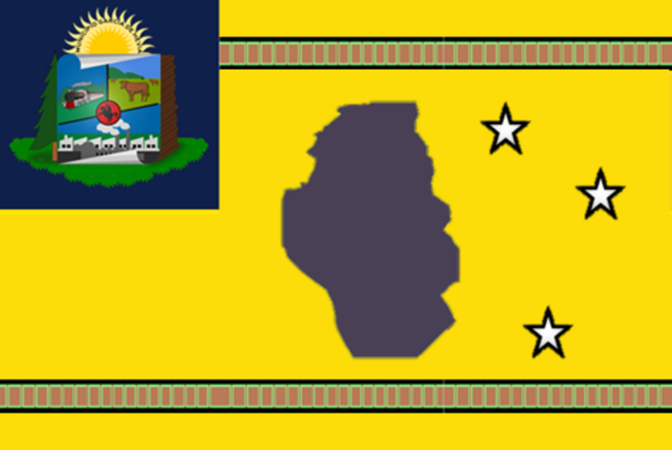
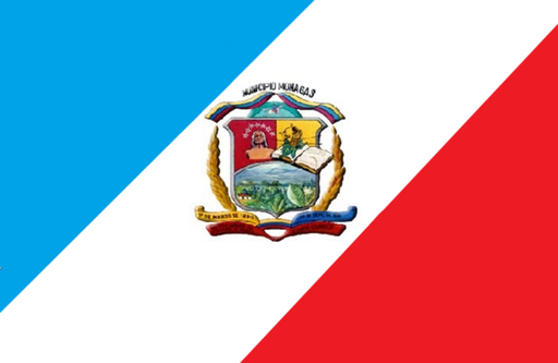
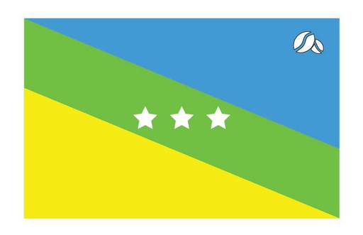
La Fría uses official municipal civic symbols through García de Hevia Municipality. A municipal flag is associated with local government, but detailed technical construction and symbolism are not described here without a securely verified specification.
About La Fría
City · Venezuela
La Fría lies in northern Táchira state where green Andean foothills descend toward the hot lowlands of the Lake Maracaibo basin. It is a regional center for transport, agriculture, commerce, education, and services. Farming, livestock, retail, construction, schools, local businesses, and freight transport support the economy. Its location on routes connecting the Andes with western Venezuela has made it an important transportation point. Neighborhoods, markets, farms, highways, river valleys, humid lowlands, and mountain slopes define its setting.