
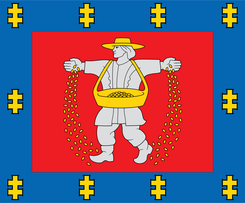
About the flag
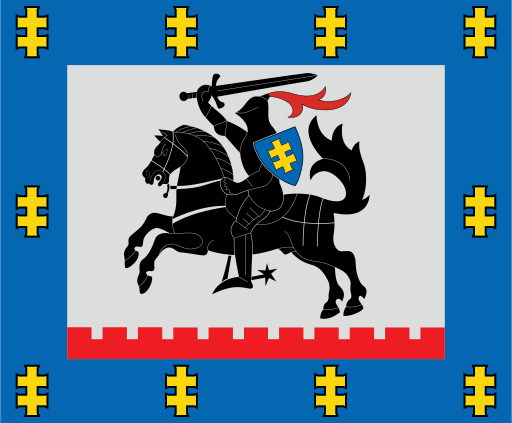
Marijampolė County uses an official heraldic flag based on its county coat of arms. The armorial design provides the region's distinctive identity, while detailed meanings of individual elements are omitted where uncertain.
Marijampolė County — available formats: SVG, PNG, JPG, WebP, PDF. Choose an image size. No sign-up needed
Click a HEX or RGB value to copy it.
Marijampolė County uses an official heraldic flag based on its county coat of arms. The armorial design provides the region's distinctive identity, while detailed meanings of individual elements are omitted where uncertain.
Region · Lithuania
Marijampolė County lies in southwestern Lithuania, characterized by broad agricultural plains, low river valleys, small forests, towns, and productive farmland. The terrain is generally flatter and more intensively cultivated than eastern parts of the country. Today agriculture, food processing, manufacturing, logistics, trade, public services, and cross-border commerce support the economy. Marijampolė is the principal urban and administrative center. Major roads connect the county with Kaunas, Poland, and other southern Baltic routes, making transport and logistics increasingly important.
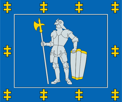
Forests, lakes, and sandy plains cover Lithuania’s quiet southern interior.
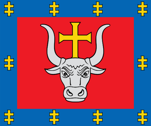
The Nemunas and Neris meet amid fertile plains in central Lithuania.
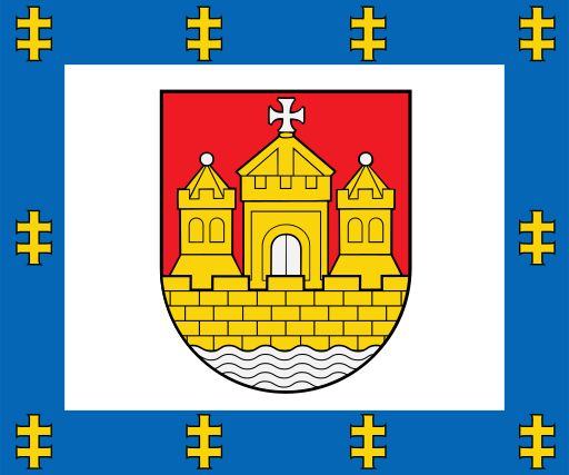
Baltic beaches, dunes, lagoons, and low coastal plains define western Lithuania.
Broad agricultural plains and river valleys cover north-central Lithuania.