

About the flag
A separate official regional flag is not reliably documented in widely available sources. Georgian national symbols and regional administrative emblems are used for official identification, so no unsupported flag description is given.
Mtskheta-Mtianeti — available formats: PNG, JPG, WebP, PDF. Choose an image size. No sign-up needed
Raster image for digital graphics.
A separate official regional flag is not reliably documented in widely available sources. Georgian national symbols and regional administrative emblems are used for official identification, so no unsupported flag description is given.
Region · Georgia
Mtskheta-Mtianeti is a region of eastern Georgia stretching from the valleys north of Tbilisi deep into the Greater Caucasus. Its terrain ranges from fertile lowlands and historic settlements to steep mountain valleys and high passes. Today tourism, agriculture, hydropower, transport, public services, and small businesses support the regional economy. Mtskheta is an important cultural and religious center, while the Georgian Military Highway crosses the mountains through the region and provides a major route toward highland communities and the northern Caucasus.
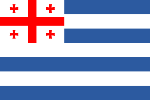
A humid Black Sea coast rises inland toward the Lesser Caucasus.
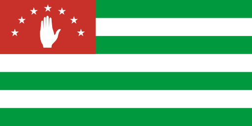
A subtropical Black Sea coast rises sharply into the Greater Caucasus.
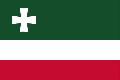
Black Sea lowlands rise eastward into wooded ridges and mountain valleys.

The broad Rioni basin is ringed by wooded hills and limestone uplands.