

About the flag
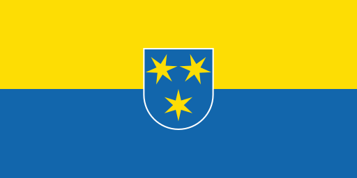
Municipality of Žalec uses an official civic flag based on its established municipal coat of arms. The heraldic emblem provides the principal visual identity, while no unsupported color interpretations are stated.
Municipality of Žalec — available formats: PNG, JPG, WebP, PDF. Choose an image size. No sign-up needed
Raster image for digital graphics.
Municipality of Žalec uses an official civic flag based on its established municipal coat of arms. The heraldic emblem provides the principal visual identity, while no unsupported color interpretations are stated.
Region · Slovenia
Municipality of Žalec lies in the lower Savinja Valley of eastern Slovenia, where fertile fields, low hills, forests, villages, and the Savinja River shape the landscape. Žalec is the main administrative and commercial center. Today hop growing, agriculture, food production, manufacturing, logistics, tourism, retail, and services support the economy. Motorway and regional roads connect the municipality with Celje, Ljubljana, and other Savinja communities, while hop fields, cycling routes, museums, caves, and rural estates contribute to tourism and recreation.
The Vipava Valley lies between limestone plateaus and the lower western mountains.

A short Adriatic shoreline meets flysch hills at Slovenia's coastal edge.

Lake Bohinj fills a deep Julian Alpine valley beneath Slovenia's highest peaks.
The Savinja valley narrows beneath wooded hills around a major eastern city.