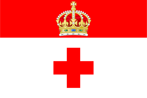
Nadur — available formats: SVG, PNG, JPG, WebP, PDF. Choose an image size. No sign-up needed
About the flag
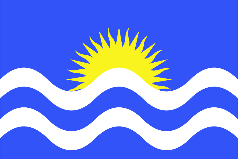
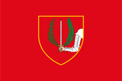
The flag follows Malta's local-council practice of using a banner of the municipal arms. Its field is formed by the established heraldic colors and charges of the locality rather than a separate modern logo. Detailed symbolic explanations are omitted where they are not reliably documented.
About Nadur
Region · Malta
Nadur occupies a high ridge in eastern Gozo with broad views toward valleys, bays and the channel separating Gozo from Comino. The town is surrounded by terraced farmland and slopes descending toward the coast. Today agriculture, local commerce, tourism and residential services support the economy. Citrus and other crops are grown in the surrounding countryside, while roads connect Nadur with Victoria, the ferry area and nearby beaches. Its elevated setting gives the locality a strong visual presence across eastern Gozo.