
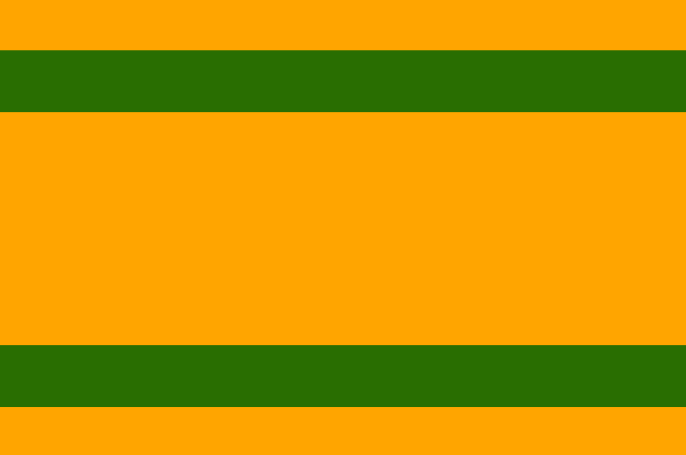
About the flag
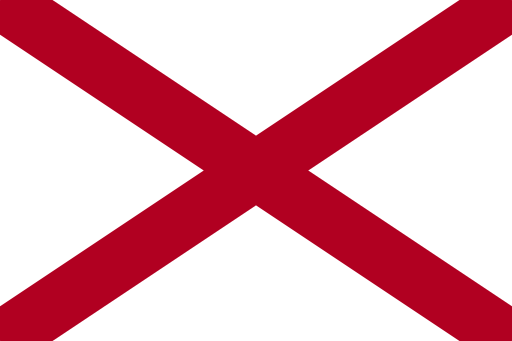
Naranjito uses a municipal flag, but reliable public sources do not consistently document its complete standardized construction and official symbolism. No unsupported colors or graphic details are therefore described.
Naranjito — available formats: PNG, JPG, WebP, PDF. Choose an image size. No sign-up needed
Raster image for digital graphics.
Click a HEX or RGB value to copy it.
Naranjito uses a municipal flag, but reliable public sources do not consistently document its complete standardized construction and official symbolism. No unsupported colors or graphic details are therefore described.
Region · United States
Naranjito is a municipality in the north-central hills of Puerto Rico, where steep ridges and river valleys rise south of the San Juan metropolitan lowlands. Rural communities and residential development share a rugged landscape. Today commerce, construction, public services, agriculture, small manufacturing, and commuting support the local economy. The municipal center serves surrounding neighborhoods, while mountain roads and bridges connect Naranjito with Bayamón, Toa Alta, and nearby interior municipalities. The terrain limits large flat development areas and gives the community a strongly hilly character.
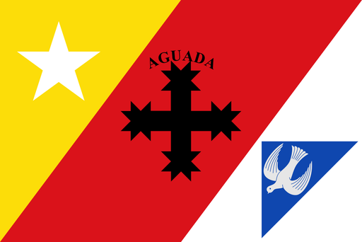
A broad western coastal plain meets Atlantic surf and low inland hills.
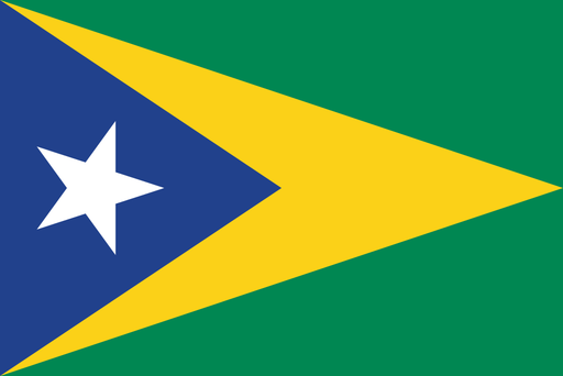
Green limestone hills and narrow valleys rise south of the San Juan basin.
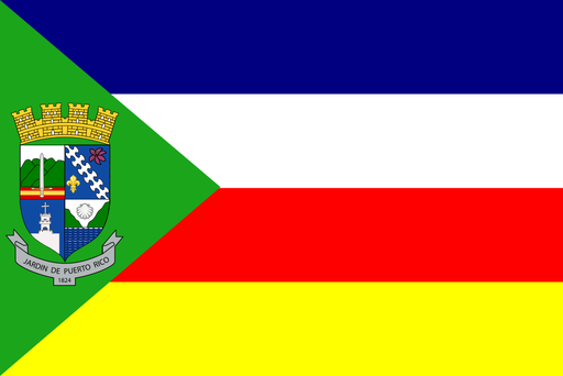
Cool mountain valleys sit high in Puerto Rico's central Cordillera.
Appalachian ridges descend toward broad river valleys and Gulf coastal plains.