
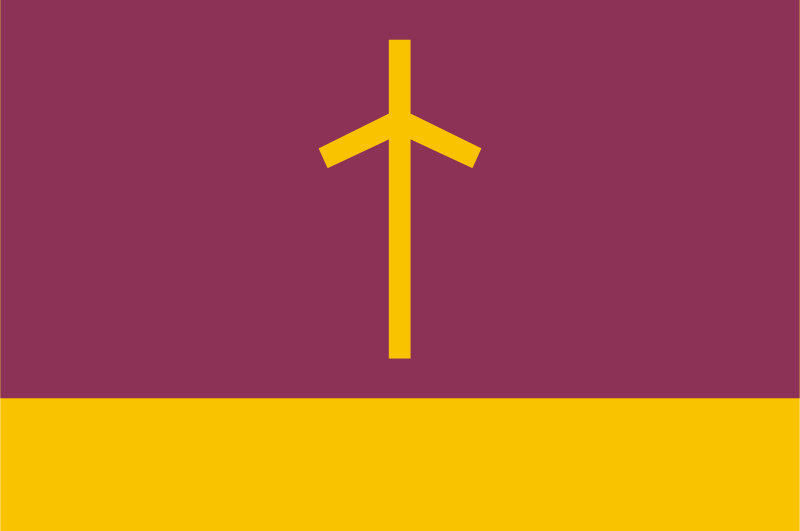
About the flag
A locally associated flag may be used by municipal institutions, but its exact standardized design and symbolism are not reliably documented in widely available sources. No uncertain details are therefore added.
Ninotsminda — available formats: SVG, PNG, JPG, WebP, PDF. Choose an image size. No sign-up needed
Click a HEX or RGB value to copy it.
A locally associated flag may be used by municipal institutions, but its exact standardized design and symbolism are not reliably documented in widely available sources. No uncertain details are therefore added.
Region · Georgia
Ninotsminda is a town and municipal center on the high Javakheti Plateau in southern Georgia. The surrounding landscape is marked by open grasslands, volcanic terrain, cold winters, and numerous lakes and wetlands. Today the town serves as a local center for administration, trade, education, and services for nearby agricultural communities. Livestock raising, potato cultivation, and other forms of high-altitude farming are important, while regional roads connect the area with Akhalkalaki, Tbilisi, and routes across Georgia’s southern uplands.
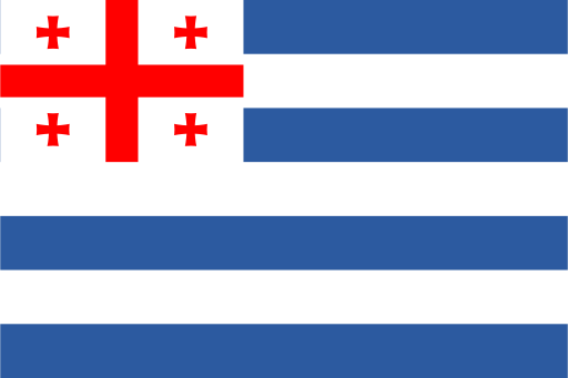
A humid Black Sea coast rises inland toward the Lesser Caucasus.
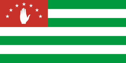
A subtropical Black Sea coast rises sharply into the Greater Caucasus.
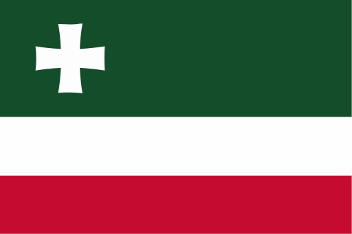
Black Sea lowlands rise eastward into wooded ridges and mountain valleys.

The broad Rioni basin is ringed by wooded hills and limestone uplands.