

About the flag
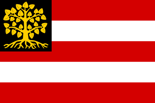
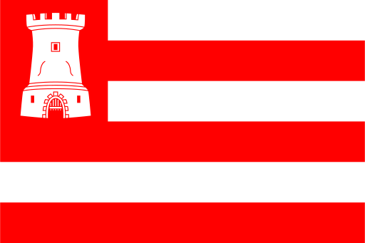
Oosterhout uses a municipal flag based on its official coat of arms and established civic colors. The heraldic emblem provides the main visual identity, while uncertain meanings are not added.
Oosterhout — available formats: SVG, PNG, JPG, WebP, PDF. Choose an image size. No sign-up needed
Oosterhout uses a municipal flag based on its official coat of arms and established civic colors. The heraldic emblem provides the main visual identity, while uncertain meanings are not added.
City · Kingdom of the Netherlands
Oosterhout is a city in North Brabant in the southern part of the Kingdom of the Netherlands, situated north of Breda on sandy lowland terrain. Residential districts, industrial parks, forests, farmland, and historic religious complexes shape the municipality. Today manufacturing, logistics, food production, retail, health care, services, and commuting support the economy. Roads connect Oosterhout closely with Breda, Tilburg, and the wider Brabant region, while monasteries, parks, woodland, cycling routes, and the historic center provide cultural and recreational attractions.
Canals, wetlands, suburban districts, and historic fortifications surround a compact medieval center.
Canals, historic streets, residential districts, and surrounding farmland define the city and its hinterland.
Canals, flat farmland, industrial areas, residential districts, and wooded estates surround the urban center.
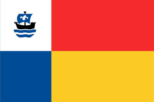
Today Almere is a major residential and employment center with services, technology, logistics, retail, education, construction, and creative industries.