
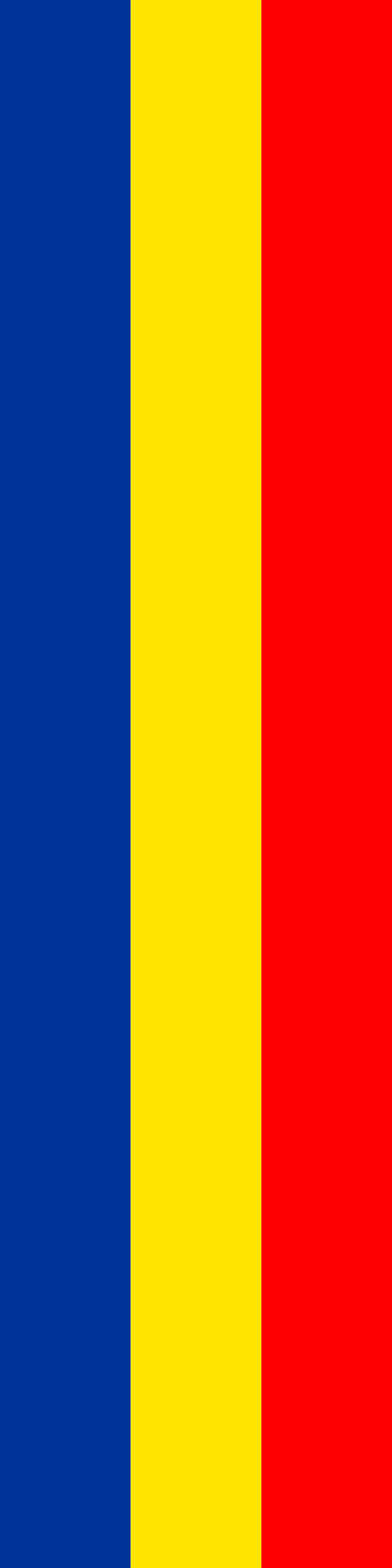
About the flag
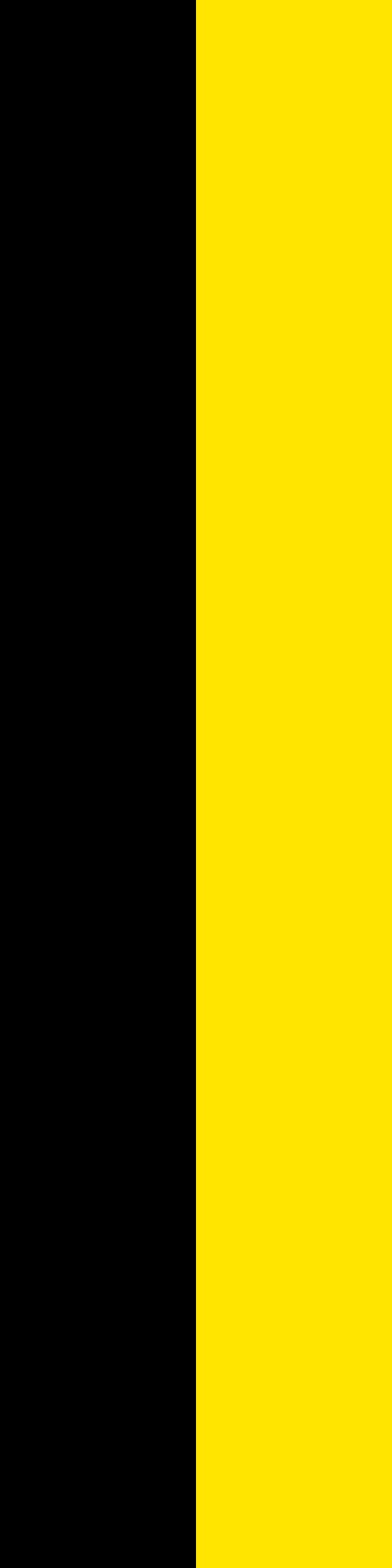
The municipal heraldry uses a red field with a blue, silver-bordered river band near the base and a gold ear of grain above it. The river and grain are the principal visual devices of the flag and coat of arms.
Ruggell — available formats: SVG, PNG, JPG, WebP, PDF. Choose an image size. No sign-up needed
Click a HEX or RGB value to copy it.
The municipal heraldry uses a red field with a blue, silver-bordered river band near the base and a gold ear of grain above it. The river and grain are the principal visual devices of the flag and coat of arms.
Region · Liechtenstein
Ruggell is Liechtenstein's northernmost municipality, lying mainly on the flat Rhine Valley floor. Farmland, wetlands, residential neighborhoods, river landscapes, and open fields characterize much of its territory. Today manufacturing, services, logistics, agriculture, commerce, and commuting support the economy. Roads connect Ruggell with other northern municipalities and cross-border routes, while protected wetlands provide important habitat and recreation space. The municipality's flat terrain differs noticeably from the steep mountain landscapes found farther east and south in Liechtenstein.
Rhine lowlands rise sharply toward Alpine slopes at Liechtenstein’s southern end.
Flat Rhine Valley farmland meets low foothills in northern Liechtenstein.
Rhine floodplain farmland and low hills surround a compact northern settlement.
Low Alpine foothills rise above the Rhine Valley in northeastern Liechtenstein.