Saitama Prefecture — available formats: SVG, PNG, JPG, WebP, PDF. Choose an image size. No sign-up needed
About the flag
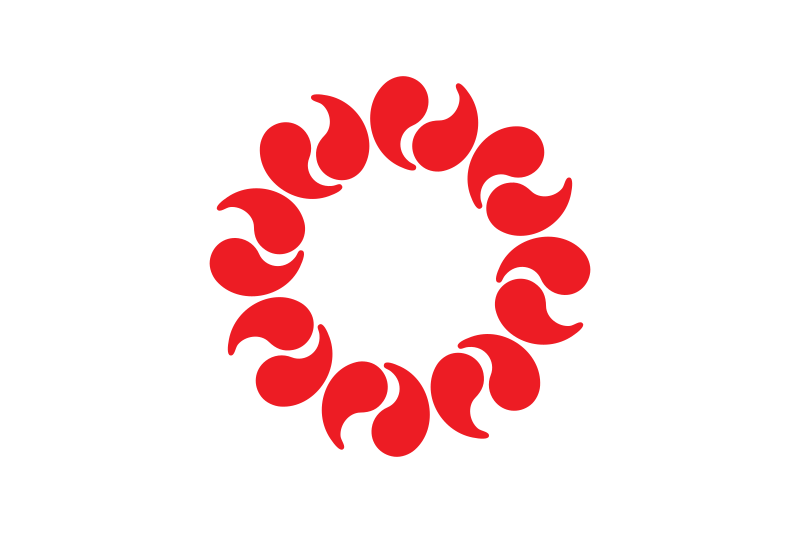
The flag has a white field with a circular arrangement of red ornamental beads. The individual forms refer to the character 玉, meaning a jewel or bead and appearing in the prefecture's name. Arranged evenly around an empty center, they create a ring-like emblem with strong rotational symmetry. Official explanations associate the pattern with unity and harmony among the people of the prefecture. The red-and-white design is simple enough to remain clear at a distance and is widely used as Saitama's official prefectural symbol.
About Saitama Prefecture
Region · Japan
Saitama Prefecture lies immediately north of Tokyo across the largely flat Kantō Plain, with increasingly hilly and mountainous terrain toward the west. Saitama city is the prefectural capital and a major administrative, commercial, and transport center. Much of southern and eastern Saitama forms part of the Greater Tokyo commuter belt, supported by dense railway networks and extensive residential development. Manufacturing, logistics, retail, services, and agriculture all contribute to the economy. Western districts contain forests, river valleys, and mountain recreation areas, creating a sharp contrast with the densely urbanized suburbs closer to Tokyo.