
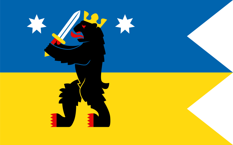
About the flag
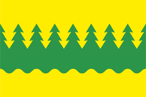
Satakunta uses its historic regional coat of arms as a recognized heraldic symbol and in armorial flag form. The coat of arms provides the central regional identity, while detailed symbolic interpretations are omitted where uncertain.
Satakunta — available formats: SVG, PNG, JPG, WebP, PDF. Choose an image size. No sign-up needed
Click a HEX or RGB value to copy it.
Satakunta uses its historic regional coat of arms as a recognized heraldic symbol and in armorial flag form. The coat of arms provides the central regional identity, while detailed symbolic interpretations are omitted where uncertain.
Region · Finland
Satakunta lies on Finland's western coast along the Gulf of Bothnia, combining low agricultural plains, forests, river valleys, wetlands, rocky shores, and coastal towns. The Kokemäki River forms an important geographic corridor. Today manufacturing, energy, metals, agriculture, logistics, forestry-related industries, tourism, and services support the economy. Pori is the principal urban and industrial center, while Rauma is an important port and manufacturing town. Roads, railways, and ports connect the region with southern and western Finland, while coastal nature and historic districts attract visitors.
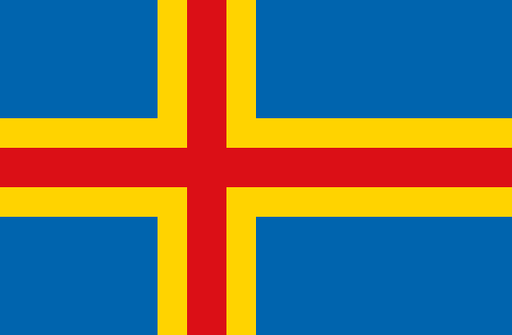
Thousands of rocky Baltic islands form a low archipelago between Finland and Sweden.
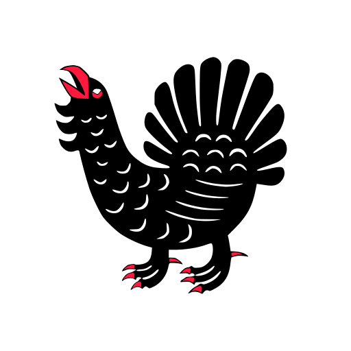
Large lakes, forested ridges, and rolling uplands fill Finland’s central interior.
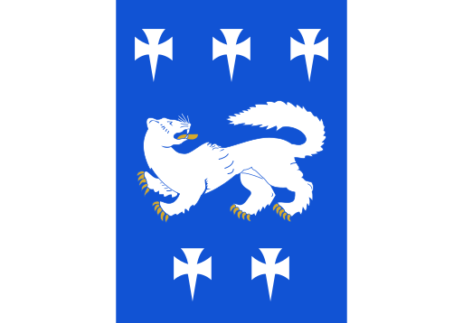
Flat western lowlands, forests, and river valleys reach toward the Gulf of Bothnia.
Vast boreal forests, lakes, and rolling uplands stretch across eastern Finland.