
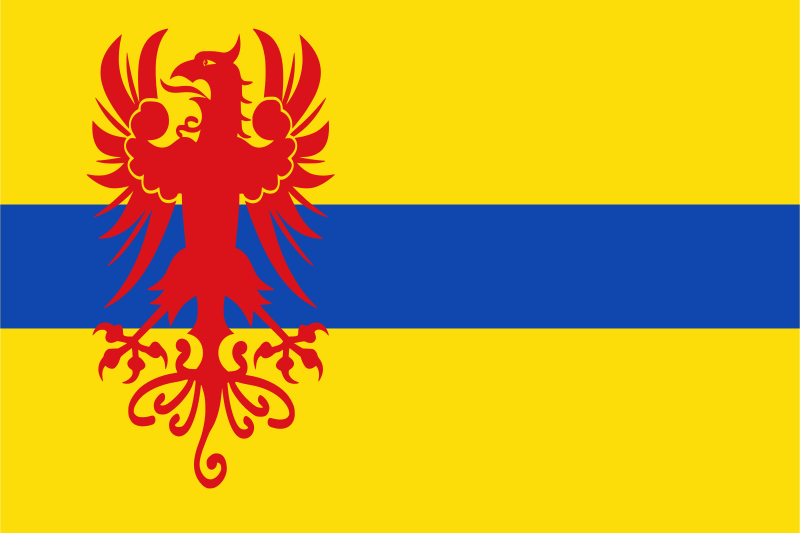
About the flag
A local flag is associated with Schoonebeek, but reliable references do not consistently establish its full standardized construction and authoritative symbolism. No uncertain colors or figures are stated.
Schoonebeek — available formats: SVG, PNG, JPG, WebP, PDF. Choose an image size. No sign-up needed
Click a HEX or RGB value to copy it.
A local flag is associated with Schoonebeek, but reliable references do not consistently establish its full standardized construction and authoritative symbolism. No uncertain colors or figures are stated.
Region · Kingdom of the Netherlands
Schoonebeek is a village in southeastern Drenthe in the northeastern Netherlands, set within flat farmland, canals, former peat country, and an area associated with Dutch oil production. The settlement lies close to the German border. Today agriculture, energy-related activity, local services, small businesses, construction, and commuting support the economy. Roads connect Schoonebeek with Emmen and neighbouring communities, while rural cycling routes, agricultural landscapes, and industrial heritage reflect both the farming and energy history of the area.
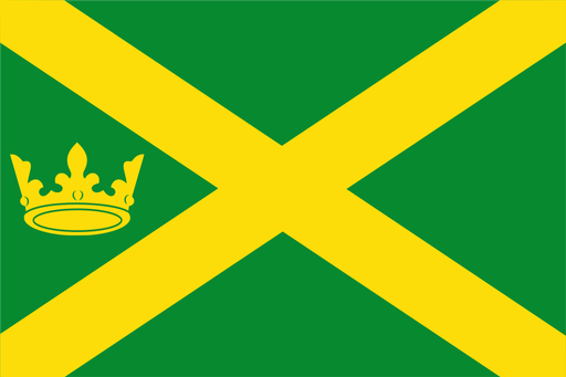
Sandy ridges descend toward peat lowlands and the winding Hunze valley.

Lakes, reclaimed polder land, and glasshouses lie southwest of Amsterdam.

Wooded farmland and small streams spread across the eastern Achterhoek.
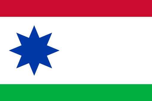
Peat lowlands and sandy farmland meet in the eastern Frisian countryside.