Selenge Province — available formats: SVG, PNG, JPG, WebP, PDF. Choose an image size. No sign-up needed
About the flag
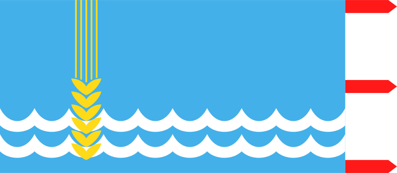
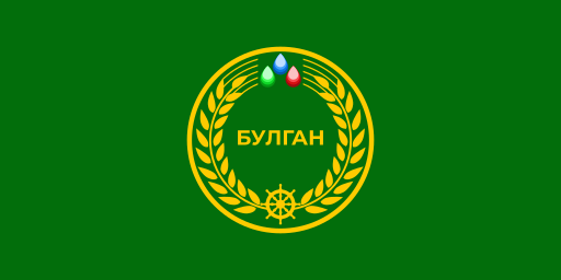
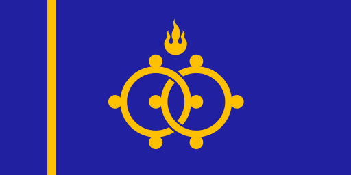
Selenge Province uses a documented provincial flag represented in Mongolian flag collections. Its regional emblem is the central identifying element, but accessible English sources provide only limited official explanation of the component symbolism.
About Selenge Province
Region · Mongolia
Selenge Province lies in northern Mongolia around the Selenge River and its tributaries, across relatively fertile forest-steppe and agricultural valleys. Sükhbaatar is the administrative center near the northern transport corridor. Today grain farming, livestock, forestry-related activity, mining, trade and transport are important to the economy. The province contains some of Mongolia's most productive cropland, benefiting from better moisture than the central and southern steppe. Rail and road connections make it a major gateway between Ulaanbaatar and markets farther north.