Sliema — available formats: SVG, PNG, JPG, WebP, PDF. Choose an image size. No sign-up needed
About the flag
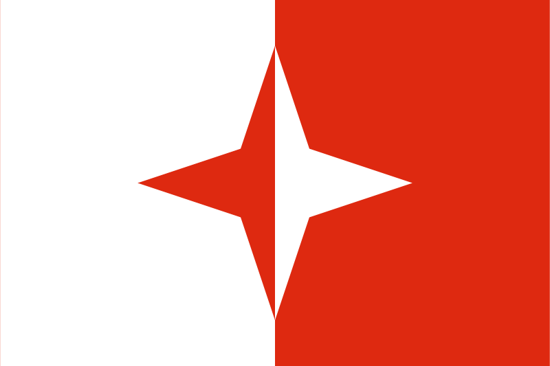
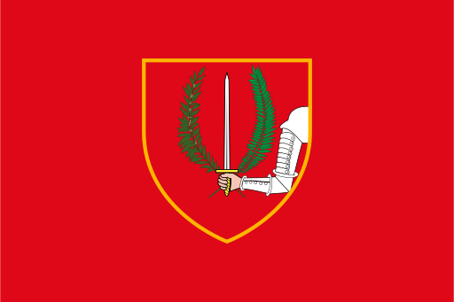
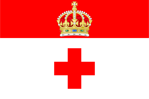
The locality's flag is an armorial banner derived from the official council coat of arms. Its heraldic colors and charges fill the field according to the general Maltese local-council practice. Uncertain symbolism is not added beyond the established civic design.
About Sliema
Region · Malta
Sliema occupies a densely developed peninsula on Malta's northeastern coast between Marsamxett Harbour and the open Mediterranean. High-rise housing, offices and commercial streets line much of the waterfront. Today retail, finance, hospitality, restaurants and professional services dominate the economy. Ferries and buses connect Sliema closely with Valletta and neighboring towns, while long promenades and rocky bathing areas make the locality one of Malta's busiest coastal districts. Very little undeveloped land remains within the heavily urbanized municipal boundary.