Tomponsky District — available formats: PNG, JPG, WebP, PDF. Choose an image size. No sign-up needed
About the flag
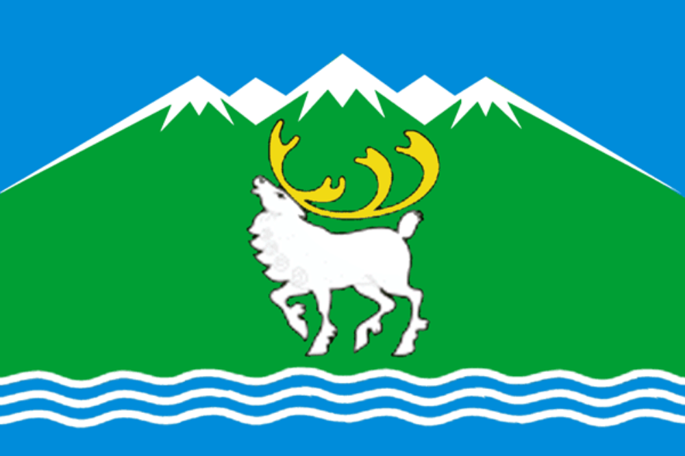
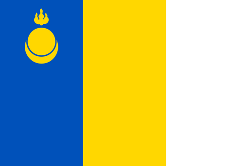
Tomponsky District has an official municipal flag using green, white, yellow, and darker heraldic elements derived from its coat of arms. The composition includes regional symbols arranged in a formal arms-based design. Because small devices and their official interpretations are difficult to verify consistently, no speculative meanings are added.
About Tomponsky District
Region · Russia
Tomponsky District lies in eastern Sakha, where mountain ranges, taiga, broad river valleys, and permafrost form a rugged transition toward northeastern Siberia. Khandyga is the administrative center and a key road settlement on the route toward Magadan. Mining, energy, transport, public services, construction, and traditional rural activities support the economy. The Kolyma Highway provides a crucial overland corridor, while other communities remain widely dispersed. Forests, mountain passes, cold rivers, and long winters dominate the district's geography.