
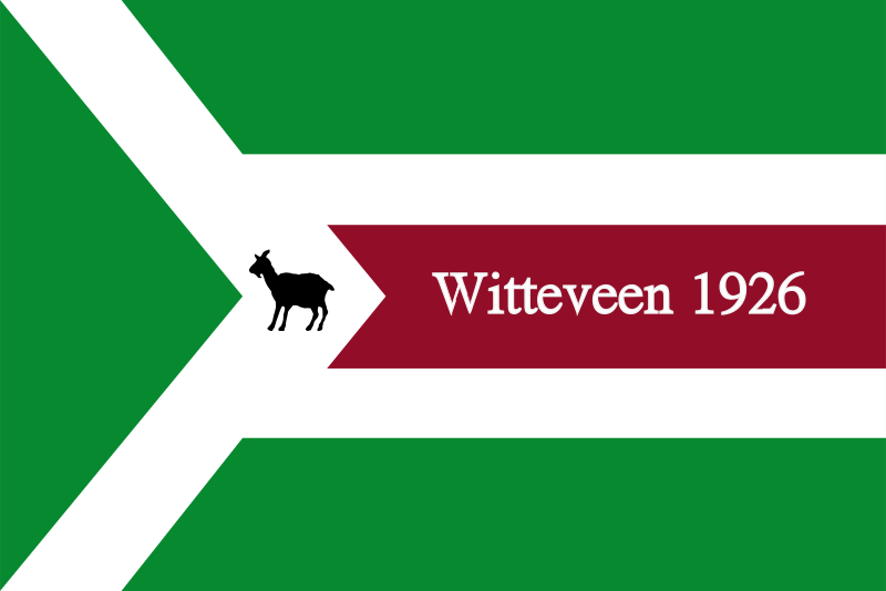
About the flag
A local village flag is associated with Witteveen, but a complete standardized design and official symbolism are not consistently documented. No uncertain colors or figures are therefore specified.
Witteveen — available formats: SVG, PNG, JPG, WebP, PDF. Choose an image size. No sign-up needed
Click a HEX or RGB value to copy it.
A local village flag is associated with Witteveen, but a complete standardized design and official symbolism are not consistently documented. No uncertain colors or figures are therefore specified.
Region · Kingdom of the Netherlands
Witteveen is a small village in central Drenthe in the northeastern Netherlands, set within reclaimed peat country of straight roads, farmland, drainage channels, and scattered woodland. The settlement has a planned rural character distinct from older sandy villages nearby. Today agriculture, local services, small businesses, and commuting support the community. Roads connect Witteveen with Westerbork, Hoogeveen, and other nearby centers, while open landscapes, cycling routes, and surrounding nature areas provide quiet recreation and reflect the area's agricultural development.
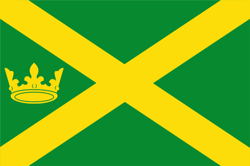
Sandy ridges descend toward peat lowlands and the winding Hunze valley.

Lakes, reclaimed polder land, and glasshouses lie southwest of Amsterdam.

Wooded farmland and small streams spread across the eastern Achterhoek.
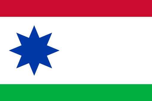
Peat lowlands and sandy farmland meet in the eastern Frisian countryside.