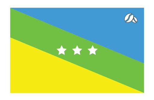
Yaritagua — available formats: PNG, JPG, WebP, PDF. Choose an image size. No sign-up needed
About the flag
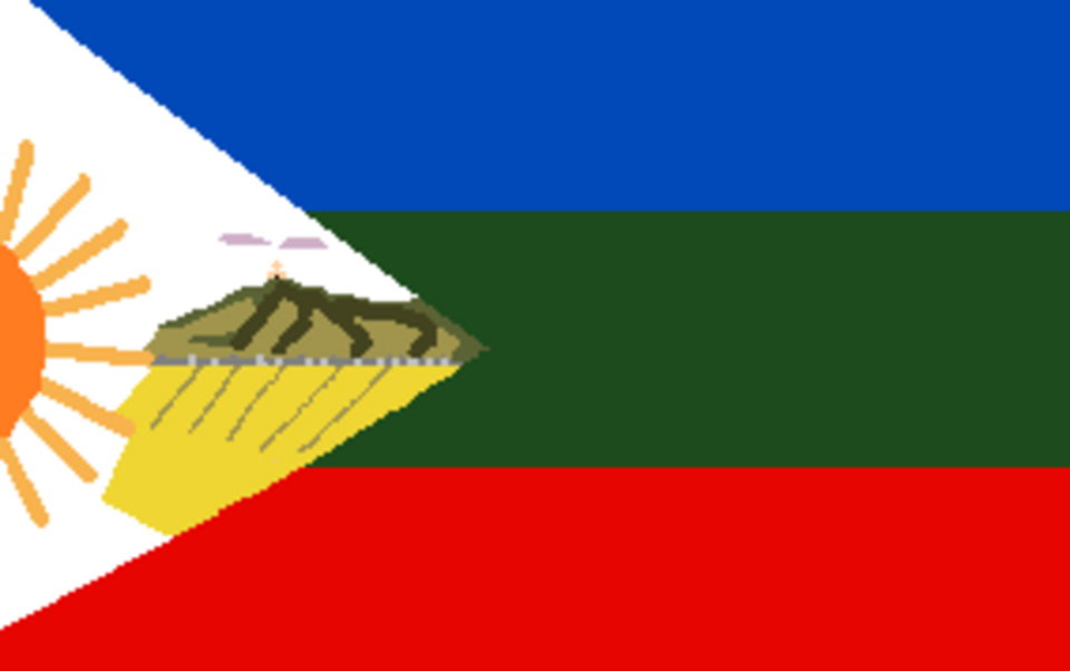
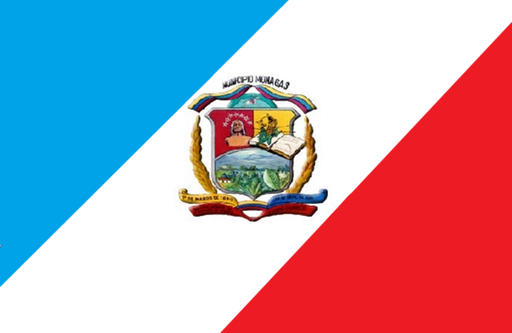
Yaritagua uses the official civic symbols of Peña Municipality, whose administrative center is the city. A municipal flag is documented, but authoritative descriptions of its complete layout and the meaning of individual elements are not consistently available. No unsupported interpretations are therefore included.
About Yaritagua
City · Venezuela
Yaritagua lies in Yaracuy State near the border with Lara, in a fertile valley of northwestern Venezuela. It is the administrative center of Peña Municipality and has long served as a commercial and agricultural hub between Barquisimeto and central Yaracuy. Sugarcane, maize, vegetables, livestock, food processing, retail, and transport contribute to the economy. The city dates to the colonial period and today spreads across a warm valley floor bordered by green hills. Major roads provide fast connections with Barquisimeto, San Felipe, and other centers of northwestern Venezuela.