Yurihonjo — available formats: SVG, PNG, JPG, WebP, PDF. Choose an image size. No sign-up needed
About the flag
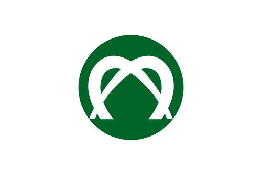
Yurihonjo uses an official municipal flag centered on its city emblem. The emblem represents the municipality created through consolidation and appears in civic and administrative settings. Detailed color meanings are not stated here without a verified city specification.
About Yurihonjo
City · Japan
Yurihonjo lies in southwestern Akita Prefecture between the Sea of Japan coast and the mountainous interior dominated by Mount Chōkai. It is a regional center for agriculture, manufacturing, commerce, education, transport, and public services. Rice, food production, machinery, farming, retail, construction, and local services support the economy. The municipality was created in 2005 through the merger of several communities and covers extensive coastal and mountain territory. Railways and roads connect Yurihonjo with Akita and neighboring regions, while fields, rivers, coastal settlements, forests, factories, and mountain views define its landscape.