
Palau
Palau consists of several island groups in the western Pacific, centred on the volcanic and limestone islands of the main Palau archipelago and extending to more remote coral islands. Forested uplands, sheltered lagoons, barrier reefs and numerous small rock islands create a fragmented geography, with most settlement concentrated on only a few islands.
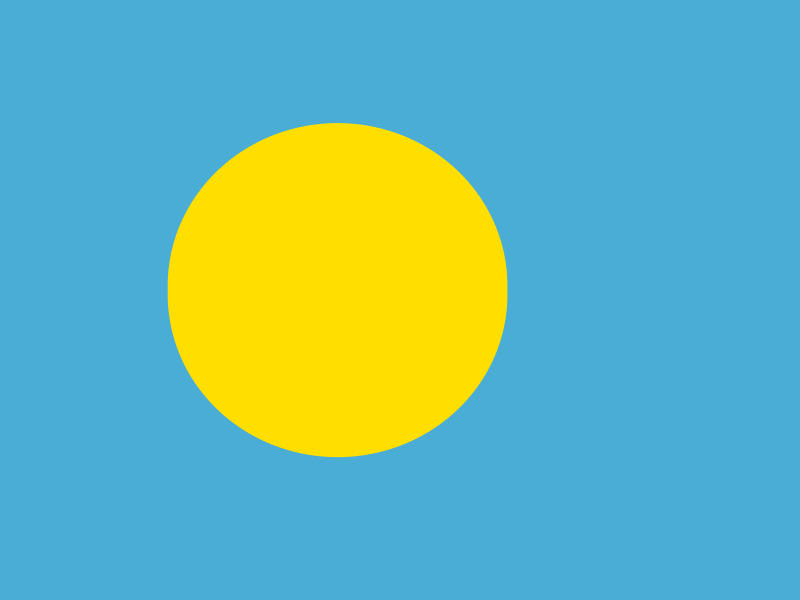
Palau’s flag has a light blue field with a large golden-yellow disc set slightly towards the hoist.
Palau
Regions and cities in our catalog
Regions
Browse this country’s regional flags and available downloads.
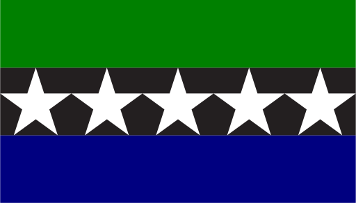
Aimeliik
Low forested hills and mangrove shores line the southwest coast of Babeldaob.
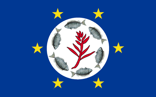
Airai
Mangrove coasts and forested hills surround Palau's main international airport.
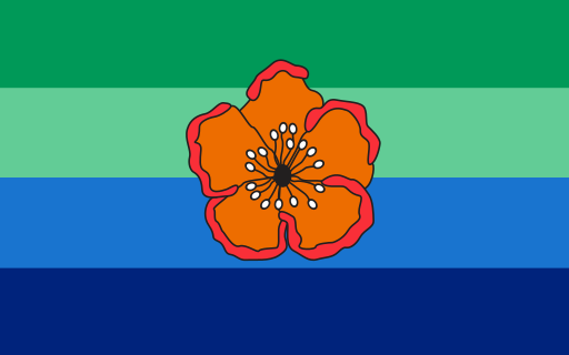
Angaur
A raised limestone island with forests and reefs lies south of Babeldaob.
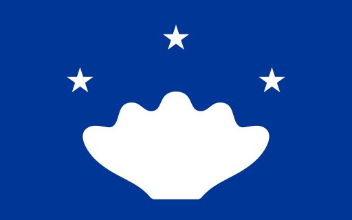
Hatohobei
Tiny coral islands and reefs lie far southwest of Palau's main archipelago.
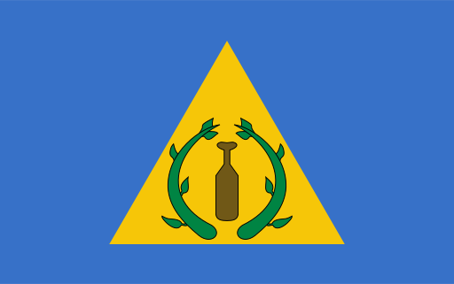
Kayangel
A small coral atoll lies north of Babeldaob amid clear lagoon waters.
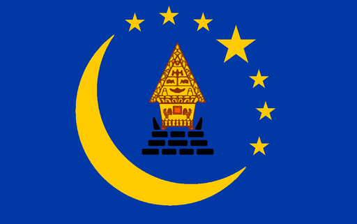
Koror
Limestone islands, reefs, and sheltered lagoons surround Palau's main urban center.
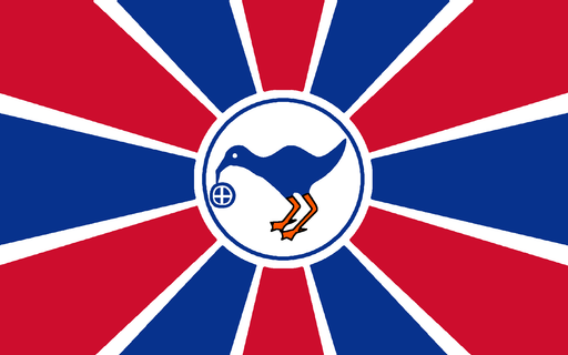
Melekeok
Forested hills and mangrove coasts surround Palau's inland national capital.
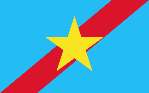
Ngaraard
Forested ridges and mangrove-lined shores occupy northern Babeldaob.
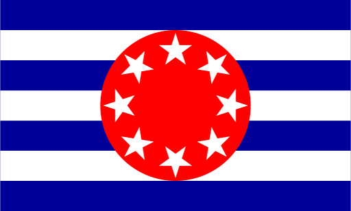
Ngarchelong
Northern Babeldaob ends in forested hills, reefs, and broad coastal shallows.
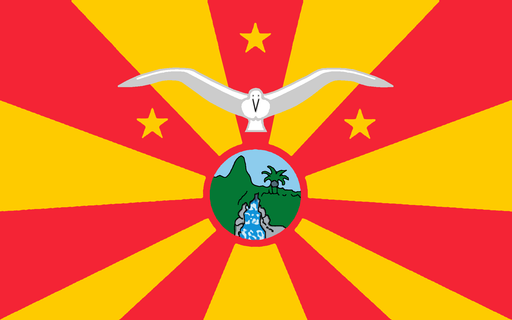
Ngardmau
Forested uplands descend through waterfalls and mangroves to western Babeldaob.
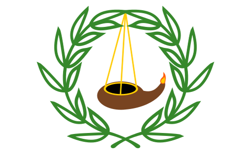
Ngatpang
Mangrove estuaries and low forested hills line western Babeldaob.
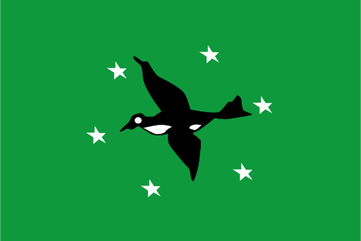
Ngchesar
Low eastern hills and mangrove wetlands face the Pacific side of Babeldaob.