Ngchesar — available formats: SVG, PNG, JPG, WebP, PDF. Choose an image size. No sign-up needed
About the flag
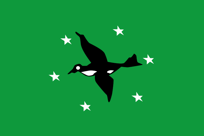
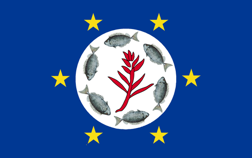
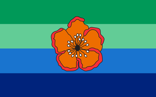
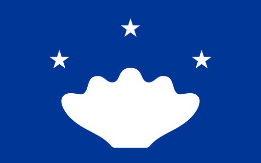
Ngchesar has a state flag associated with its local government, but a full authoritative specification of the design and its symbolism is not consistently available. The state uses local emblems and motifs in official contexts. To avoid over-interpreting uncertain reproductions, exact flag details are not expanded here.
About Ngchesar
Region · Palau
Ngchesar lies on the eastern side of Babeldaob in Palau, where low forested hills, streams, mangroves, coastal flats, and reef areas dominate the landscape. The state's small communities are connected by road with Melekeok, Airai, and other parts of the island. Fishing, small-scale agriculture, public services, and local businesses provide most livelihoods. Forests and wetlands remain extensive, and coastal ecosystems support traditional resource use and conservation. Development is limited compared with Koror, giving Ngchesar a predominantly rural and environmentally intact character.