
Sudan
Sudan occupies a broad area of northeastern Africa crossed from south to north by the Nile and its major tributaries. The Sahara covers much of the north, Sahelian plains extend across central regions, and mountains rise along the Red Sea coast and in parts of the west; settlement concentrates around rivers, irrigated land and major transport corridors.
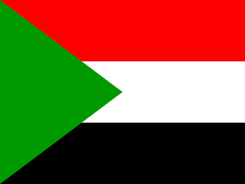
Sudan’s flag has horizontal red, white and black bands. A green triangle extends from the hoist.
Sudan
Regions and cities in our catalog
Regions
Browse this country’s regional flags and available downloads.
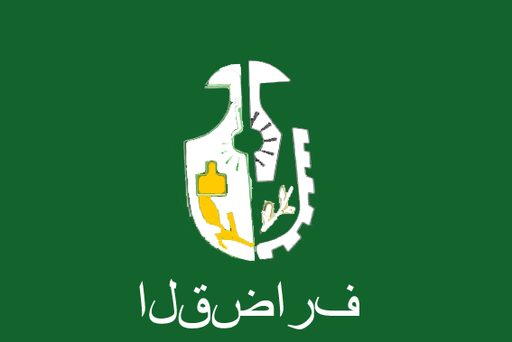
Al Qadarif
An eastern Sudanese state of fertile plains beneath the Ethiopian highlands.
East Darfur
An eastern Darfur state of dry savanna, seasonal valleys and grazing plains.

Gezira
A fertile central state between the Blue and White Nile river systems.
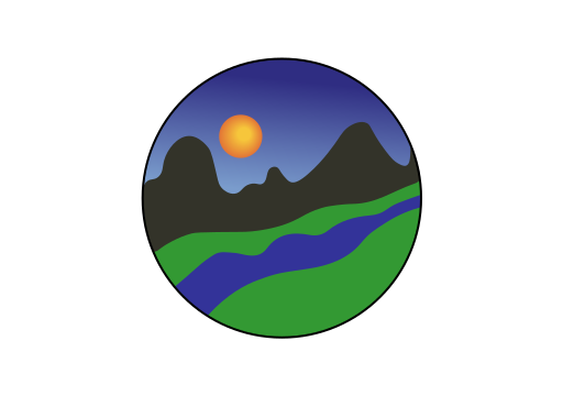
Kassala
An eastern state of Gash delta plains beneath the Red Sea Hills.
North Kordofan
A central-western state of sandy savanna and seasonal plains around El Obeid.
Northern State
The Nile cuts a narrow green corridor through the Nubian Desert.
Red Sea
Red Sea Hills rise behind a long, dry coast of reefs and bays.
River Nile
The Nile threads through desert plains past ancient pyramid fields.

Sennar
Blue Nile floodplains open into broad savanna and farming country.
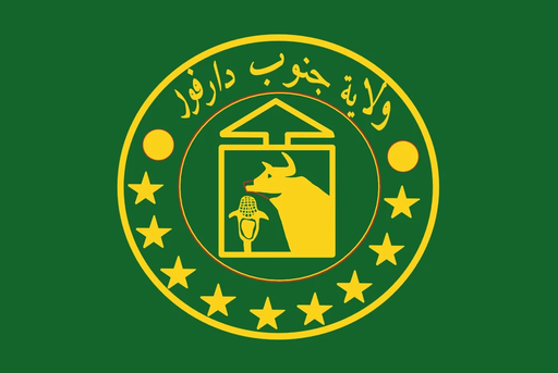
South Darfur
Seasonal wadis cross broad savanna plains around the Darfur uplands.

South Kordofan
The Nuba Mountains rise abruptly from wide savanna and farming plains.

West Kordofan
Open savanna plains stretch across a broad belt of dry grassland.