
Zambia
Zambia lies on an elevated plateau in south-central Africa, broken by major river valleys and broad areas of woodland and savanna. The Zambezi defines much of the southern drainage, while the north contains large wetlands and lakes; copper-bearing uplands and fertile valleys have shaped important settlement and transport corridors.
Zambia’s flag has a green field, with vertical red, black and orange stripes rising from the lower edge near the fly. An orange eagle stands above the three stripes.
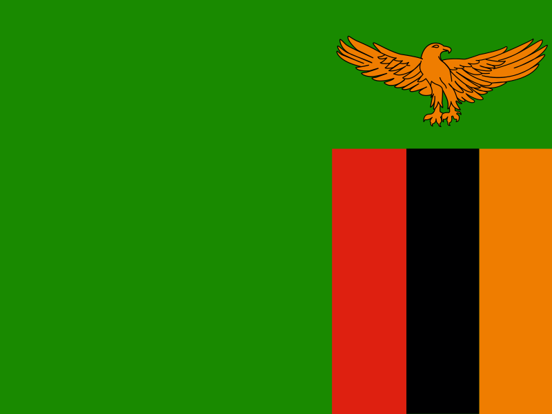
Zambia
Regions and cities in our catalog
Regions
Browse this country’s regional flags and available downloads.
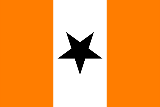
Central Province
Broad plateau farmland is crossed by the Kafue River and its wetlands.

Copperbelt Province
Wooded plateau country is dotted with mining towns and river headwaters.
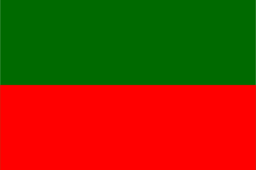
Eastern Province
Broad plateaus and river valleys rise toward the hills of eastern Zambia.

Luapula Province
Lakes, wetlands, and river channels spread across a wooded northern plateau.
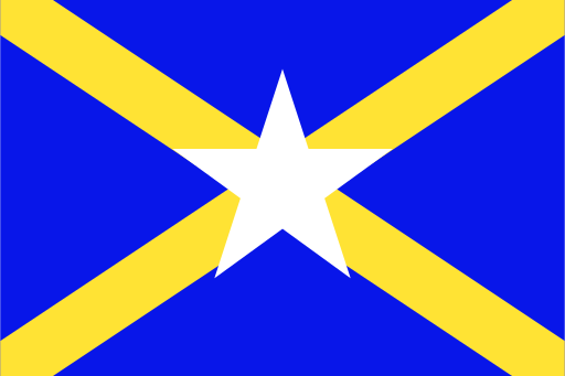
Muchinga Province
Escarpments, plateau forests, and river valleys define the northeast.
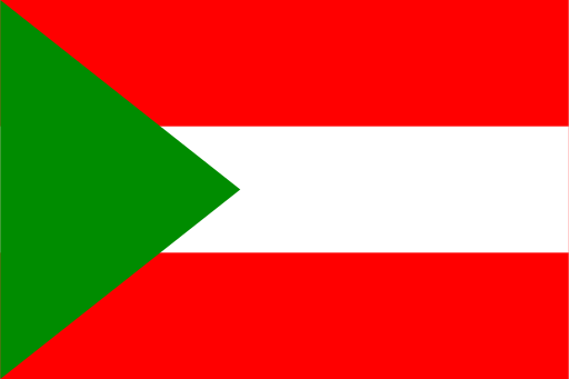
Northern Province
High plateaus, waterfalls, and great lake shores shape the northern interior.
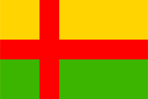
Northwestern Province
Miombo woodland and broad river basins cover a mineral-rich plateau.

Southern Province
Plateau farmland descends toward the Zambezi and the edge of Lake Kariba.
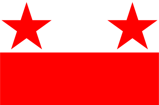
Western Province
Wide floodplains and sandy woodland spread along the upper Zambezi.