
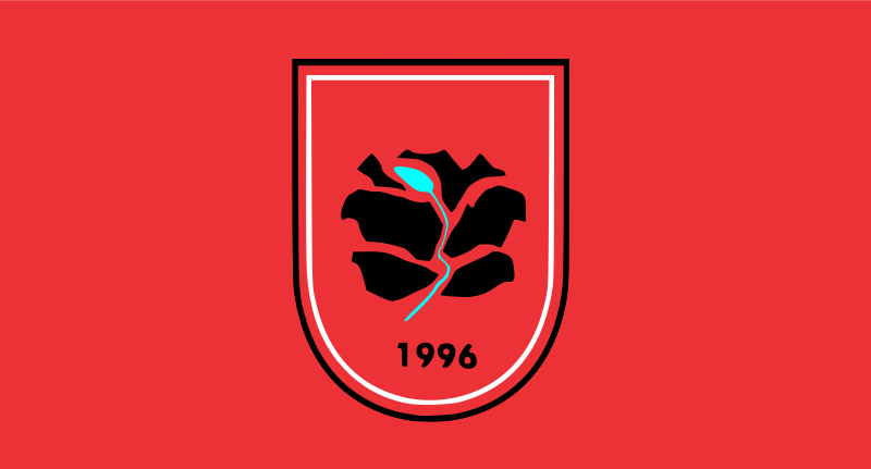
About the flag
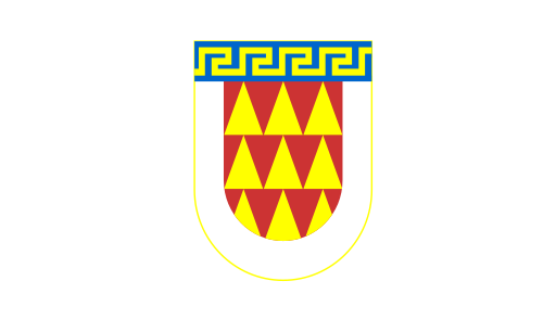
Bogovinje Municipality uses a local civic flag, but reliable descriptions do not consistently establish its complete standardized construction and official interpretation. No uncertain design details are included.
Bogovinje Municipality — available formats: SVG, PNG, JPG, WebP, PDF. Choose an image size. No sign-up needed
Click a HEX or RGB value to copy it.
Bogovinje Municipality uses a local civic flag, but reliable descriptions do not consistently establish its complete standardized construction and official interpretation. No uncertain design details are included.
Region · North Macedonia
Bogovinje Municipality lies in northwestern North Macedonia across the Polog plain and the lower slopes of the Šar Mountains. Villages, farmland, river channels, and mountain foothills form the main landscape. Today agriculture, construction, retail, local services, small manufacturing, and commuting support the economy. Road connections link the municipality with Tetovo and other parts of the Polog region, while upland areas provide pasture, forests, and access toward mountain landscapes. Settlement is concentrated mainly along the fertile valley floor and lower slopes.
Dense urban districts spread across the flat Skopje basin south of the Vardar.
Flat Skopje lowlands and farmland lie beneath the northern Balkan foothills.
Forested mountains and the upper Bregalnica valley fill the far east.
The Pelagonia plain meets forested mountains around a major southern city.