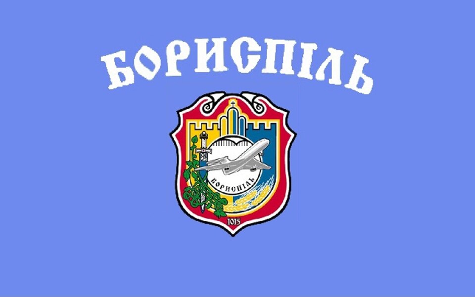
Boryspil — available formats: PNG, JPG, WebP, PDF. Choose an image size. No sign-up needed
About the flag
Boryspil uses an official municipal flag based on its coat of arms and established civic heraldry. The formal symbols belong to the Ukrainian municipality and should be distinguished from airport branding. The coat of arms remains the authoritative reference for detailed flag elements.
About Boryspil
City · Ukraine
Boryspil lies east of Kyiv on the flat forest-steppe of Kyiv Oblast, within the capital's metropolitan region. It is best known for Boryspil International Airport, Ukraine's principal international aviation gateway before the closure of civilian airspace during the full-scale invasion. Aviation services, logistics, retail, construction, manufacturing, education, and commuting have shaped the local economy. The city itself is an established regional center with residential districts, commercial areas, and transport infrastructure beyond the airport. Major highways and rail connections link Boryspil with Kyiv and eastern Ukraine, while farmland and open plains surround much of the urban area.