
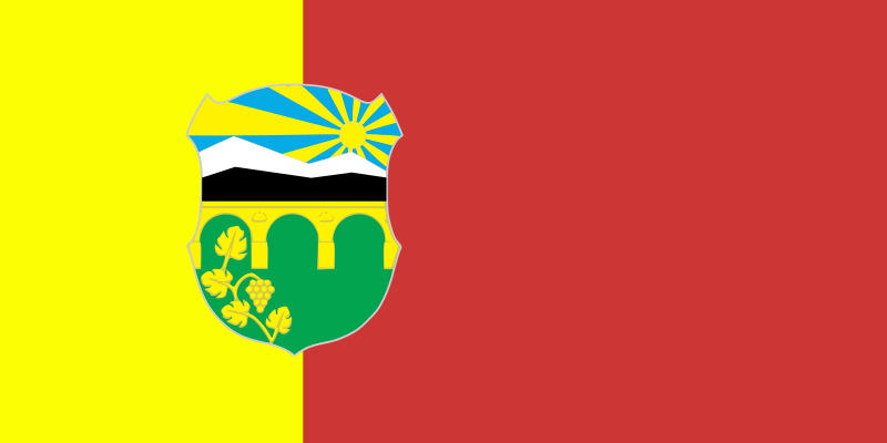
About the flag
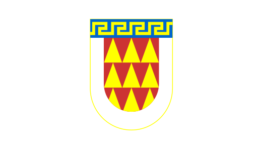
Butel Municipality uses a municipal flag connected with its official civic emblem. Detailed construction and symbolism are not consistently documented in reliable public sources, so no uncertain elements are described.
Butel Municipality — available formats: SVG, PNG, JPG, WebP, PDF. Choose an image size. No sign-up needed
Click a HEX or RGB value to copy it.
Butel Municipality uses a municipal flag connected with its official civic emblem. Detailed construction and symbolism are not consistently documented in reliable public sources, so no uncertain elements are described.
Region · North Macedonia
Butel Municipality occupies the northern part of the Skopje metropolitan area in North Macedonia, where dense residential districts meet low hills and remaining open land. The municipality is closely integrated with the capital's urban fabric. Today retail, services, construction, education, local administration, small industry, and commuting support the economy. Roads and public transport connect Butel with central Skopje and neighbouring municipalities, while markets, schools, neighborhood centers, and residential development dominate everyday urban life.
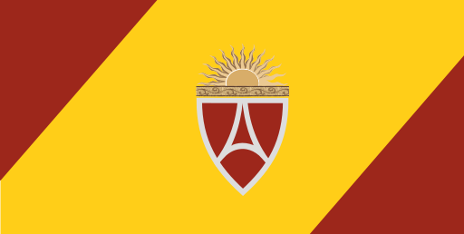
Dense urban districts spread across the flat Skopje basin south of the Vardar.
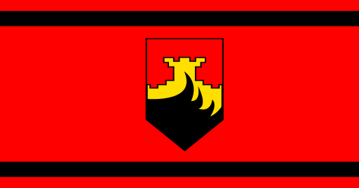
Flat Skopje lowlands and farmland lie beneath the northern Balkan foothills.
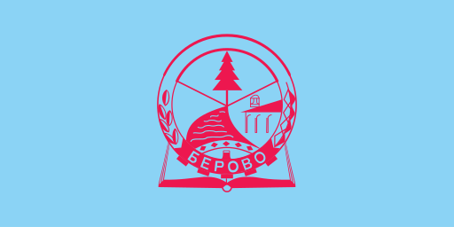
Forested mountains and the upper Bregalnica valley fill the far east.
The Pelagonia plain meets forested mountains around a major southern city.