Chai Nat — available formats: SVG, PNG, JPG, WebP, PDF. Choose an image size. No sign-up needed
About the flag
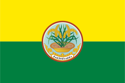
Chai Nat uses an official provincial flag incorporating the province's seal. Thai flag references document the banner within the national system of provincial symbols. Since authoritative English explanations of every graphic feature are limited, only the established administrative design is described.
About Chai Nat
Region · Thailand
Chai Nat lies in Thailand's central plain along the Chao Phraya River, surrounded by flat agricultural land and irrigation networks. Chai Nat town is the provincial administrative center. Today rice farming, food production, local trade and public services form much of the economy. The Chao Phraya Dam is a major feature of the province and plays an important role in water management for central Thailand. Roads connect local farming communities with larger markets, while riverbanks, temples and bird habitats provide additional local attractions.