

About the flag
No separate official departmental flag is reliably documented in widely available sources. Nicaragua’s national flag and local government emblems are used officially, so no unsupported regional design is included.
Chinandega Department — available formats: SVG, PNG, JPG, WebP, PDF. Choose an image size. No sign-up needed
Click a HEX or RGB value to copy it.
No separate official departmental flag is reliably documented in widely available sources. Nicaragua’s national flag and local government emblems are used officially, so no unsupported regional design is included.
Region · Nicaragua
Chinandega Department occupies Nicaragua’s far northwest along the Pacific coast and the Gulf of Fonseca. Volcanic peaks, fertile plains, beaches, estuaries, and agricultural districts dominate its landscape. Today sugar cane, peanuts, bananas, livestock, fisheries, port activity, trade, and energy production support the economy. Chinandega city is the departmental capital and leading service center, while Corinto is one of Nicaragua’s principal Pacific ports. Highways connect the region with León, Managua, and international routes through the country’s northwestern corridor.
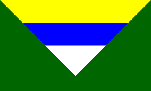
Rolling cattle country and low forested hills surround central Nicaragua’s lakes.
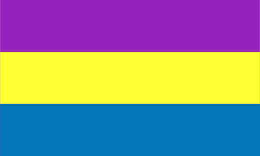
Volcanic uplands descend through farmland toward Nicaragua’s Pacific coast.

Cattle plains and rolling hills stretch east of Lake Nicaragua.

Cool highland valleys and pine-covered ridges dominate northern Nicaragua.